What is recorded here
Half-buried in a steep pasture slope, the fort keeps its circular shape though modern fields have cut through its eastern edge. A low bank once divided the interior into two parts, and shallow depressions marked the northern half, but those inner lines have vanished under grass and time. The remaining scarp rises no more than two metres, yet it still blocks the horizon and forces the eye to circle the whole place before leaving.
On a steep SSW-facing slope in pasture. A report in 1975 (SMR file) recorded that this raised circular area (diam. 46.4m) was defined by a bank and external fosse, with an outer bank from S-SW-W. The interior was divided into roughly equal portions by a low E-W bank. Within the N half were a number of wide, shallow depressions. The rath is defined by a scarp (H 0.9-2.1m) with an external fosse. The fosse (Wth 3.2m; D 0.1-0.3m) is shallow and waterlogged from WNW-N-NE where a modern field boundary extends around its outer lip. From NE-E-SE both it and the scarp have been destroyed due to the construction of modern field boundaries. From SE-S-SW the circuit and morphology of the fosse have been substantially altered where it has been incorporated into a field boundary. From SW-W-WNW it has been infilled but its outline is still identifiable. The original entrance is not recognisable. The outer bank and the internal features noted in the earlier report are not visible at ground level.
Compiled by: Patrick F. O'Donovan
Date of upload: 26 August 2011
The monument record does not grant public access. Check the route and ask the landowner before entering private land.
- What survives
- Recorded monument
Places near here
 Enclosure in RathcorEnclosure · 542 yd
 TobergownaHoly well · 801 yd
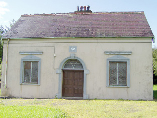 Granard Masonic Hallmasonic lodge/hall · 1.0 mi
 Church in GranardkillChurch · 1.1 mi
 CastleCastle, unclassified · 1.3 mi
 Granard MotteMotte-and-bailey castle remains · 1.3 mi
 Moat of GranardCastle, motte and bailey · 1.3 mi
 1798 Monumentmonument · 1.4 mi
 Cloonfin WoodForest · 2.7 mi
 Clonfin Ambush MemorialMemorial · 2.7 mi
 Derrycassan WoodsWood · 3.0 mi
 InchmoreIslet · 3.1 mi