
What is recorded here
Immediately to the S of the road, overlooking the deserted settlement (LF010-078001-) to the NE. The church of 'Granardkilly' is depicted on an early 17th-century map of Granard barony (BL, Cotton MS Augustus I.i.47). A lease dated 1611 lists 'one ruinous church’ and ‘the hospital of St Patrick, called Granard-Kille in O'Ferrall's country’ (Cal. pat. rolls Ire., Jas I, 213). This church may be the medieval parish church of Granard (Bradley et al. 1985, 19-20) (but see also LF010-055002-). Its precise location and that of the hospital (LF010-078003-) have not been identified. However, the church may have been located close to or within the graveyard (LF010-078004-) where a fragment of a round-headed window that may be from it, and which is possibly of late-12th/early 13th-century date, is incorporated into the graveyard wall, adjacent to the entrance. Other window fragments incorporated in the wall may be from the ‘R. C. Chapel’ shown on the 1837 edition of the OS 6-inch map. This church has been levelled and a small oratory, containing the font from it, now stands on its site. (Masterson 1935, 91)
Compiled by: Patrick F. O'Donovan, Caimin O'Brien
Date of upload: 5 June 2013
The church in Granardkill was likely built in the early 17th century, as shown on a map of Granard barony, and may reflect an earlier ecclesiastical tradition. Its exact builder and dedication are not recorded, but it is significant as a historical marker of a now-deserted settlement.
The monument record does not grant public access. Check the route and ask the landowner before entering private land.
- What survives
- Recorded monument
Places near here
 Site of Old Town of GranardSettlement deserted, medieval · 215 yd
 St. Patricks WellHoly well · 622 yd
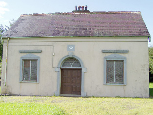 Granard Masonic Hallmasonic lodge/hall · 997 yd
 Moat of GranardCastle, motte and bailey · 1220 yd
 CastleCastle, unclassified · 1235 yd
 Granard MotteMotte-and-bailey castle remains · 1253 yd
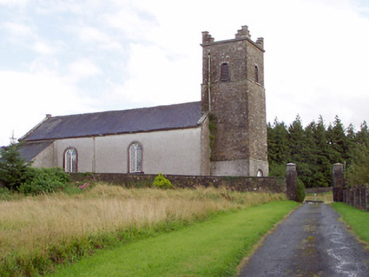 Saint Patrick's Church (Granard)church/chapel · 1292 yd
 1798 Monumentmonument · 1399 yd
 Clonfin Ambush MemorialMemorial · 2.9 mi
 Cloonfin WoodForest · 3.3 mi
 CartronfreeMountain / peak · 3.8 mi
 Derrycassan WoodsWood · 4.1 mi
Other information
Photo: Credit not shown in the picture search · Rights wording not checked; contact us if this picture should be removed