What is recorded here
Immediately to the S of a road, possibly associated with a medieval parish church (LF010-078002-). This irregularly shaped, elongated graveyard (c. 230m NE-SW; c. 40-70m NW-SE) is defined by a stone wall along the roadside and elsewhere by a combination of hedging, concrete walls and mesh-wire fencing. Access is via gates on the roadside. A plaque indicates that it was consecrated by the Rev. Doctor McGauran, Bishop of Ardagh on the 29th September 1826. Incorporated into the wall, adjacent to the entrance, are fragments of round-headed windows. One is possibly from the medieval church and the others may be from the ‘R. C. Chapel’, shown on the 1837 edition of the OS 6-inch map, that formerly stood in the SW end of the graveyard. (Lennon 2005)
Compiled by: Caimin O'Brien
Date of upload: 5 June 2013
Immediately to the S of a road, possibly associated with a medieval parish church (LF010-078002-). This irregularly shaped, elongated graveyard (c. 230m NE-SW; c. 40-70m NW-SE) is defined by a stone wall along the roadside and elsewhere by a combination of hedging, concrete walls and mesh-wire fencing. Access is via gates on the roadside. A plaque indicates that it was consecrated by the Rev. Doctor McGauran,…
From the National Monuments Service (Archaeological Survey of Ireland) record LF010-078004
The monument record does not grant public access. Check the route and ask the landowner before entering private land.
- What survives
- Recorded monument
Places near here
Photo credits
- National Inventory of Architectural Heritage
- Granard Motte.png : Smcq Derivative work: Hogweard, Wikimedia Commons · CC BY-SA 3.0
- 2ManyCats4Me, Wikimedia Commons · CC0
- Gillaween, Wikimedia Commons · CC BY-SA 4.0
- Charles T. G. Clarke, Wikimedia Commons · CC BY-SA 4.0
Site of Old Town of GranardSettlement deserted, medieval · 215 yd Granard Masonic HallMasonic lodge/hall · 997 ydMoat of GranardCastle, motte and bailey · 1220 ydGranard MotteMotte-and-bailey castle remains · 1253 ydSaint Patrick's Church (Granard)Church/chapel · 1292 yd1798 MonumentMonument · 1399 ydSheela-na-gig in AbbeylaraSheela-na-gig · 2.8 miClonfin Ambush MemorialMemorial · 2.9 miCloonfin WoodForest · 3.3 miCartronfreeMountain / peak · 3.8 miDerrycassan WoodsWood · 4.1 miCoolamber CastleHouse, fortified house · 4.4 mi
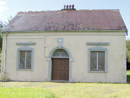 Granard Masonic HallMasonic lodge/hall · 997 yd
 Moat of GranardCastle, motte and bailey · 1220 yd
 Granard MotteMotte-and-bailey castle remains · 1253 yd
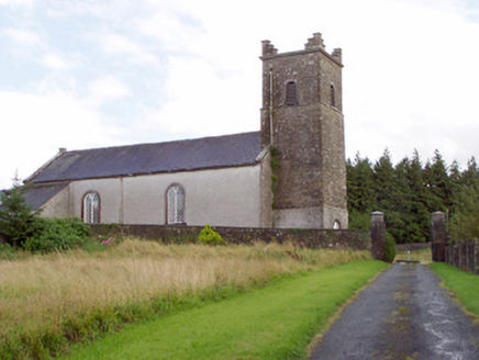 Saint Patrick's Church (Granard)Church/chapel · 1292 yd
 1798 MonumentMonument · 1399 yd
 Sheela-na-gig in AbbeylaraSheela-na-gig · 2.8 miClonfin Ambush MemorialMemorial · 2.9 miCloonfin WoodForest · 3.3 miCartronfreeMountain / peak · 3.8 miDerrycassan WoodsWood · 4.1 mi
 Coolamber CastleHouse, fortified house · 4.4 mi
More archaeology and monuments in County Longford · All of County Longford
What do you know about this place?