
What is recorded here
On a prominent NW-SE ridge in pasture. Depicted as a circular enclosure with the designation 'Bull Ring' on all eds. of the OS 6-inch map. A report in 1975 (SMR file) recorded a raised circular area (diam. c. 22m) enclosed by a largely levelled bank of earth and stone. The original entrance was not recognisable. The report suggested that the rath had been reused as an animal enclosure. Not visible at ground level.
Compiled by: Patrick F. O'Donovan
Date of upload: 3 December 2011
The monument record does not grant public access. Check the route and ask the landowner before entering private land.
- What survives
- Recorded monument
Places near here
 IndicatedEnclosure · 323 yd
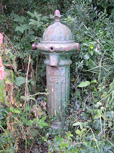 water pumpwater pump · 650 yd
 BarrowBarrow, ring-barrow · 1596 yd
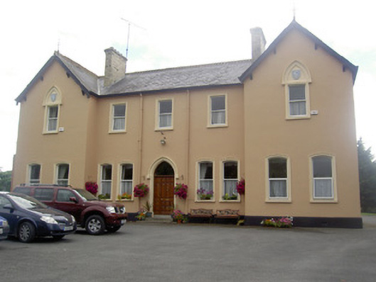 Saint Elizabeth's Conventconvent/nunnery · 1.2 mi
 MoatawardCastle, motte and bailey · 1.5 mi
 RuinsCastle, unclassified · 1.5 mi
 Edgeworthstown BypassMemorial · 1.7 mi
 Ballinalee Forest WalkForest · 5.2 mi
 Bully's Acregraveyard/cemetery, unknown · 5.6 mi
 Granard MotteMotte-and-bailey castle remains · 5.6 mi
 1798 Monumentmonument · 5.7 mi
 CartronfreeMountain / peak · 8.7 mi
Other information
Photo: Credit not shown in the picture search · Rights wording not checked; contact us if this picture should be removed