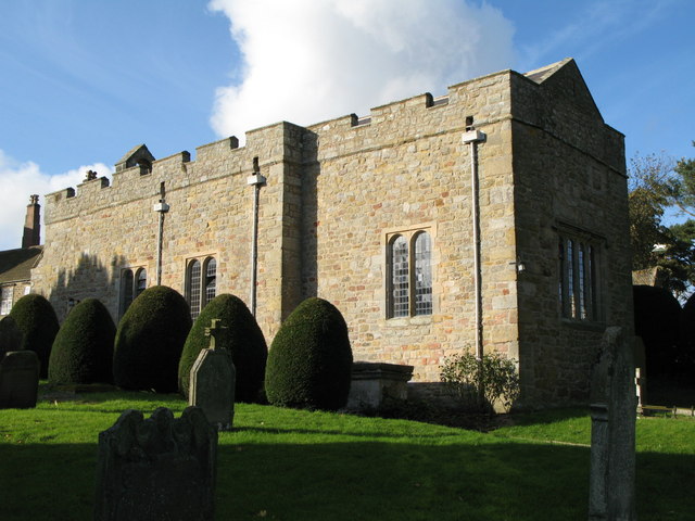
What is recorded here
Sixty-two metres of dead ground, fenced in stone, waiting for the living to stop pretending they understand it. The church is gone, but its bones still mark the graves, twisting sacred wood into mortal measurements. You can walk the length twice before doubt returns. That is the trap: a ruined church does not end, it redirects.
Associated with a church (LF022-032----). This rectangular graveyard (62m E-W; 31m N-S) is enclosed by a stone wall. Access is via a round-topped wrought-iron gate, set into a large cut-stone surround, in the E wall. Memorial plaques (LF022-032002-, LF022-032003-) on each side of the gateway date to 1649. Some late-medieval window mullions from the church have been reused as grave-markers. Memorials date from the 18th to the 20th centuries. (Wilson 1897a, 183; Gwynn and Hadcock 1970, 227; Lennon 2005)
Compiled by: Patrick F. O'Donovan, Caimin O'Brien
Date of upload: 5 June 2013
The monument record does not grant public access. Check the route and ask the landowner before entering private land.
- What survives
- Recorded monument
Places near here
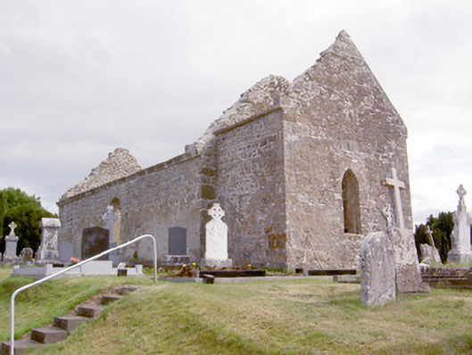 church/chapelchurch/chapel · 18 yd
 Cloghree WellHoly well · 123 yd
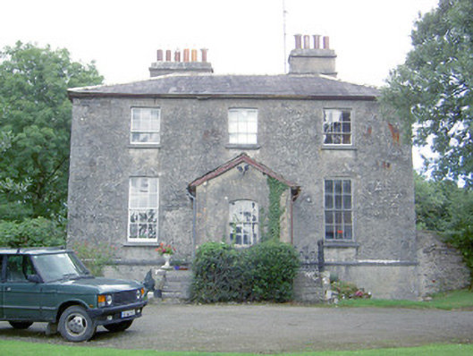 Kilcommock Rectoryrectory/glebe/vicarage/curate's house · 610 yd
 Enclosure in Cartronawar (rathcline By.)Enclosure · 1147 yd
 Corlea Bog Walk Canal BranchWalking route · 1.3 mi
 Bawn in TirlickeenBawn · 1.4 mi
 Corlea Trackway Interpretative CentreHeritage attraction · 1.5 mi
 CastleCastle, unclassified · 1.7 mi
 Corlea Bog Walk Blue LoopWalking route · 1.8 mi
 Leveret IslandIslet · 5.3 mi
 Graveyard in Curry (ardagh By., Coolamber Ed)Graveyard · 6.0 mi
 InchbofinIslet · 6.2 mi
Other information
Photo: Credit not shown in the picture search · Rights wording not checked; contact us if this picture should be removed