
What is recorded here
In pasture. Broadly oval area (c. 55m NE–SW; c. 50m NW–SE) visible on aerial photographs (SMR file). A field boundary/hedgerow, on a NNW–SSE axis, bisects the enclosure to the E of centre. In one aerial view the three-quarters of the enclosure which lies to the W of the fence is defined from SW–N by a raised arc of vegetation, possibly indicating a surviving bank or scarp. To the E of the fence, the enclosure appears to have been levelled. There is another enclosure (LF022-025----) c. 120m to the SE and a possible rath (LF022-024----) c. 300m to the NNW.
Compiled by: Jane O'Shaughnessy
Date of upload: 26 September 2012
The monument record does not grant public access. Check the route and ask the landowner before entering private land.
- What survives
- Recorded monument
Places near here
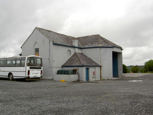 church/chapelchurch/chapel · 173 yd
 IndicatedFairy fort / earthen ringfort · 436 yd
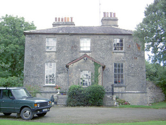 Kilcommock Rectoryrectory/glebe/vicarage/curate's house · 537 yd
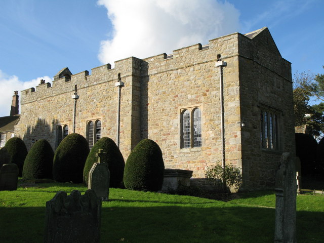 Church (in Ruins)Graveyard · 1147 yd
 Corlea Bog Walk Canal BranchWalking route · 1.5 mi
 CastleCastle, unclassified · 1.6 mi
 Bawn in TirlickeenBawn · 1.6 mi
 Corlea Trackway Interpretative CentreHeritage attraction · 1.8 mi
 Corlea Bog Walk Blue LoopWalking route · 2.1 mi
 Graveyard in Curry (ardagh By., Coolamber Ed)Graveyard · 5.6 mi
 Leveret IslandIslet · 6.0 mi
 InchbofinIslet · 6.8 mi
Other information
Photo: Credit not shown in the picture search · Rights wording not checked; contact us if this picture should be removed