What is recorded here
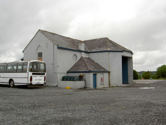
Freestanding former Roman Catholic church, built c. 1830 and altered c. 1870, having two-bay nave to north, single-bay transepts to east and west and a shallow apsidal chancel to the south. Two-bay single-storey sacristy attached to the west side of chancel. Closed c. 1981 and now in use as outbuilding. Pitched natural slate roof with raised cut stone coping/verge with kneeler stones to the gable end of east transept and raised cut stone coping to gable end of west transept. Hipped natural slate roof to chancel and to sacristy; rendered chimneystack to sacristy. Painted lined-and-ruled smooth rendered walls over projecting plinth. Pointed arch window openings with hoodmouldings over. Single round window opening to the south elevations of transepts. Square-headed window and door openings to sacristy. Majority of window openings now infilled; stained glass windows remain to a number of the nave windows. Modern square-headed carriage arches to chancel (south) and to gable end of east transept, both having modern metal doors. Set back from road in own grounds to the southeast of Keenagh. Associated former parochial house (13402207) adjacent to the east.
Although now altered and in use as a workshop, this early-nineteenth century Roman Catholic church retains much of its early form. This structure is typical of the plain T-plan chapels that were built in great numbers throughout the Irish countryside in the years before and immediately after Catholic Emancipation (1829). The chancel and the sacristy are later additions, added some time during the second half of the nineteenth century (Ordnance Survey six-inch sheets 1838 and 1913. The simple pointed arch window openings give this building the bare minimum of a Gothic Revival character. This former church was deconsecrated c. 1981, following the construction and consecration of St. Dominic’s Roman Catholic church at Keenagh to the north, and is of high social importance to the local community as a centre of worship for almost two centuries. It forms an interesting pair of related structures with the associated former parochial house to the east, and remains an integral element of the built and social heritage of the local area. An elaborate cast-iron belfry at the new church at Keenagh was probably moved from this site c. 1981 (belfry indicated to the north of the church on 1913 Ordnance Survey third edition six-inch map).
This does not grant access. Most recorded buildings are privately owned; view them only from public ground unless the owner allows entry.
Places near here
 Enclosure in Cartronawar (rathcline By.)Enclosure · 173 yd
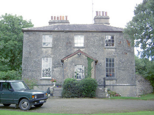 Kilcommock Rectoryrectory/glebe/vicarage/curate's house · 599 yd
 IndicatedFairy fort / earthen ringfort · 600 yd
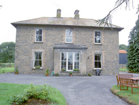 Laurel Lodgehouse · 1331 yd
 Bawn in TirlickeenBawn · 1.5 mi
 Corlea Bog Walk Canal BranchWalking route · 1.6 mi
 CastleCastle, unclassified · 1.7 mi
 Corlea Trackway Interpretative CentreHeritage attraction · 1.9 mi
 Corlea Bog Walk Blue LoopWalking route · 2.2 mi
 Graveyard in Curry (ardagh By., Coolamber Ed)Graveyard · 5.7 mi
 Leveret IslandIslet · 6.0 mi
 InchbofinIslet · 6.8 mi
Other information
Photo: National Inventory of Architectural Heritage · Website use allowed for educational or private purposes with source credit