What is recorded here
In level pasture. A roughly triangular upright stone (H 2.1m) of sandstone that is approximately rectangular in plan (Wth 1.85m; T 1.2m), with its long axis aligned E-W. A crevice, near the top of the stone on its E side, has the stump of iron peg embedded in it.
Compiled by: Denis Power
Date of upload: 26 August 2011
Probably dates to the Neolithic or Bronze Age, given the form and context of standing stones in Ireland. The crevice may have had symbolic or ritual significance, possibly used for offerings or as part of a wider ceremonial landscape associated with burial or worship.
The monument record does not grant public access. Check the route and ask the landowner before entering private land.
- What survives
- Recorded monument
Places near here
 BarrowBarrow, ditch barrow · 1405 yd
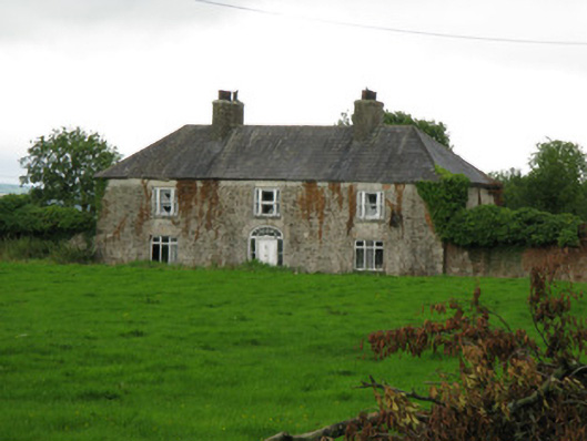 Brook Lodgecountry house · 1639 yd
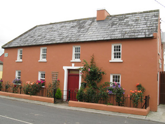 Áras Ídehouse · 1740 yd
 IndicatedFairy fort / earthen ringfort · 1.0 mi
 CastleCastle, unclassified · 1.2 mi
 Garbally WellSpring · 1.6 mi
 Sunday WellSpring · 1.8 mi
 Ballynoe Castle (in ruins)Castle, tower house · 2.1 mi
 European ashEuropean ash · 4.5 mi
 Famine stoneMemorial · 4.8 mi
 KnockfeerinaMountain / peak · 5.2 mi
 Ballagh MountainMountain / peak · 8.5 mi