What is recorded here
In reclaimed pasture, on NW-facing slope. Monument, depicted on 1841 OS 6-inch map as embanked oval enclosure (c. 30m NW-SE; c. 60m SW-NE), has been levelled. No trace of monument evident when inspected. Surrounding field boundaries have been removed.
Compiled by: Denis Power
Date of upload: 26 August 2011
The monument record does not grant public access. Check the route and ask the landowner before entering private land.
- What survives
- Recorded monument
Places near here
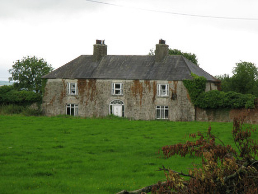 Brook Lodgecountry house · 1409 yd
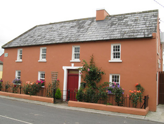 Áras Ídehouse · 1508 yd
 BarrowBarrow, ditch barrow · 1721 yd
 CastleCastle, unclassified · 1.1 mi
 IndicatedFairy fort / earthen ringfort · 1.2 mi
 Garbally WellSpring · 1.4 mi
 Sunday WellSpring · 1.8 mi
 Ballynoe Castle (in ruins)Castle, tower house · 2.0 mi
 European ashEuropean ash · 4.5 mi
 Famine stoneMemorial · 4.9 mi
 KnockfeerinaMountain / peak · 5.4 mi
 Ballagh MountainMountain / peak · 8.3 mi