What is recorded here
Denis Power documented the Garbally ringfort in 2011, revealing a thirty-three-metre circular enclosure buried beneath pasture and overgrown bushes. The earthen bank stands one metre ninety externally but drops to seventy-five centimetres internally, forcing anyone crossing the eastern gap to stumble through a shallow fosse rather than walk a proud gate. This subtle inversion suggests the fort was built for bodies that bent low or creatures that crawled, turning a ordinary farm field into a threshold where human arrogance must be swallowed before entry.
In pasture, on a gentle S-facing slope. Circular area (diam. 33m) enclosed by earthen bank (int. H 0.75m; ext. H 1.9m) with an external fosse (D 1.3m; Wth 2m). Gap (Wth 3m) in bank at E. Interior level and under pasture, but enclosing element overgrown with bushes.
Compiled by: Denis Power
Date of upload: 26 August 2011
The monument record does not grant public access. Check the route and ask the landowner before entering private land.
- What survives
- Recorded monument
Places near here
 Garbally WellSpring · 625 yd
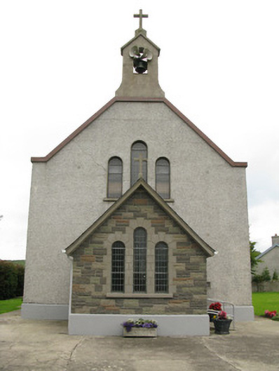 Saint Ita's Catholic Churchchurch/chapel · 784 yd
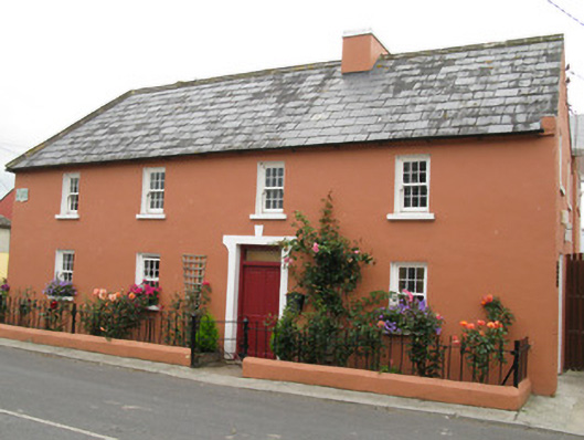 Áras Ídehouse · 794 yd
 CastleCastle, unclassified · 1254 yd
 Mayne Ho.Castle, unclassified · 1.0 mi
 Moated site in BallinruaneMoated site · 1.6 mi
 Partially indicatedEcclesiastical enclosure · 1.9 mi
 ToberhoranSpring · 2.2 mi
 European ashEuropean ash · 5.1 mi
 Famine stoneMemorial · 6.1 mi
 KnockfeerinaMountain / peak · 6.5 mi
 Ballagh MountainMountain / peak · 7.3 mi