
What is recorded here
Le Pallace, a Geraldine castle granted to an English planter in 1587 and besieged in 1642, likely occupied this rectangular scarped platform in County Limerick. The Castle Field still holds its shadow: a slight rise, sharp-edged and dry, while the road passes below like water around a stone. What is missing is not the wall but the life that moved through it, the doors, lights and choices that made a castle instead of a shape in grass.
In pasture atop low knoll, ground slopes away from site in all directions. In field, which is known locally as "The Castle Field", is a rectangular, slightly raised area (14m N-S; 17m E-W) defined by a scarped edge (ext. H 0.25m). Road runs along the base of the scarped edge S->W. Probably site of 'Le Pallace', a Geraldine castle granted to English planter in 1587 (Westropp 1906-7, 227); it was besieged in 1642 during Confederate War (ibid.).
Compiled by: Denis Power
Date of upload: 26 August 2011
The monument record does not grant public access. Check the route and ask the landowner before entering private land.
- What survives
- Recorded monument
Places near here
 Church (in ruins)Church · 430 yd
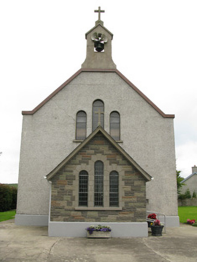 Saint Ita's Catholic Churchchurch/chapel · 563 yd
 Moated site in BallinruaneMoated site · 1519 yd
 Garbally WellSpring · 1.0 mi
 BarrowBarrow, ring-barrow · 1.6 mi
 Mayne Ho.Castle, unclassified · 1.7 mi
 ToberhoranSpring · 2.2 mi
 Ballynoe Castle (in ruins)Castle, tower house · 2.7 mi
 Famine stoneMemorial · 5.7 mi
 KnockfeerinaMountain / peak · 6.1 mi
 Ballagh MountainMountain / peak · 7.8 mi
 Mullaghareirk - Banane LoopWalking route · 9.1 mi
Other information
Photo: Credit not shown in the picture search · Rights wording not checked; contact us if this picture should be removed