What is recorded here
In level marshy terrain, on the S side of a stream. A circular area (diam. 14m) enclosed by a fosse (D 0.3m; Wth 7.4m) with an external bank (int. H 0.4m; ext. H 0.6m) and an external fosse (D 0.35m; Wth 5m). There are opposite gaps in the bank at E (Wth 8m) and at W (Wth 6m). The entire site is covered by tall marshy vegetation except for the level interior which is dry and under grass.
Compiled by: Denis Power
Date of upload: 26 August 2011
A Neolithic ring-barrow, dating to approximately 3000–2500 BCE, characterized by its circular fosse and external bank. Such monuments are significant as early funerary and ceremonial structures, reflecting communal burial practices and social organization in Neolithic Ireland.
The monument record does not grant public access. Check the route and ask the landowner before entering private land.
- What survives
- Recorded monument
Places near here
 Heathfield Housecountry house · 1428 yd
 Moated site in BallinruaneMoated site · 1737 yd
 IndicatedFairy fort / earthen ringfort · 1.1 mi
 CastleCastle, unclassified · 1.6 mi
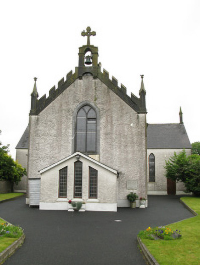 Saint Ita's Catholic Churchchurch/chapel · 1.6 mi
 Castle (in ruins)Castle, hall-house · 2.3 mi
 Our Lady's WellSpring · 2.3 mi
 Garbally WellSpring · 2.6 mi
 Famine stoneMemorial · 4.8 mi
 KnockfeerinaMountain / peak · 5.0 mi
 National Co-op MuseumMuseum · 5.3 mi
 Ballagh MountainMountain / peak · 9.3 mi
Other information
Photo: Credit not shown in the picture search · Rights wording not checked; contact us if this picture should be removed