What is recorded here
Caherclogh’s earthen fort stands twenty-one metres across, surrounded by marsh on a south-facing slope, proving that even forgotten places keep their shape when people stop naming them. The bank rises higher outside than inside, suggesting the diggers cut downward rather than building upward, while the mature oak atop the western edge marks the boundary between human memory and fairy ownership. Cattle graze the rough pasture above a interior that slopes into wet darkness, where the SE quadrant dissolves into marsh and the fort becomes less a home than a threshold.
In pasture, on S-facing hill slope surrounded by marsh NNE->SSW. Roughly circular area (21.5m N-S; 18.8m E-W) enclosed by earthen bank, with external fosse (D 2.05m; Wth 1.85m) SW->NNE. Bank (int. H 0.4m; ext. H 1.6m), best preserved NW->NNE, lowers at SE where it borders marsh. Counterscarp bank (ext. H 0.8m) SW->WNW. Tree-covered interior, under rough pasture, slopes down to S and is marshy in SE quadrant. A mature oak tree stands atop bank at W.
Compiled by: Denis Power
Date of upload: 26 August 2011
The monument record does not grant public access. Check the route and ask the landowner before entering private land.
- What survives
- Recorded monument
Places near here
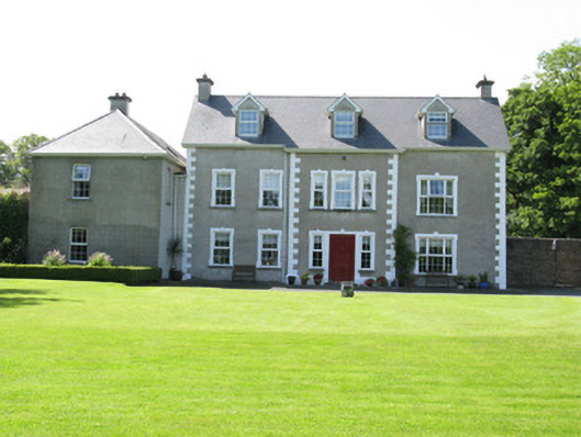 Castletown Conyerscountry house · 1379 yd
 Church (in ruins)Church · 1381 yd
 IndicatedCastle, motte · 1389 yd
 Castle (in ruins)Castle, hall-house · 1468 yd
 Our Lady's WellSpring · 1502 yd
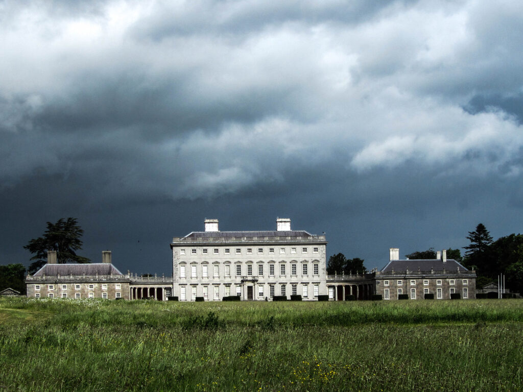 Enclosure in Castletown (connello Upper By.)Enclosure · 1622 yd
 Enclosure in Ballynoe (connello Upper By., Ballynoe Ed)Enclosure · 1.3 mi
 Saint Derivla's WellSpring · 2.2 mi
 Famine stoneMemorial · 3.5 mi
 KnockfeerinaMountain / peak · 3.6 mi
 National Co-op MuseumMuseum · 6.6 mi
 Mullaghareirk - Banane LoopWalking route · 12 mi