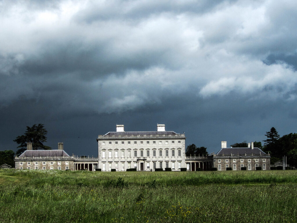
What is recorded here
In pasture field, possible circular enclosure, diam. c. 50m, defined by faint cropmark.
Compiled by: Matt Kelleher based on information supplied by Gerard Curtin
Date of upload/revision: 20 July 2023
The monument record does not grant public access. Check the route and ask the landowner before entering private land.
- What survives
- Recorded monument
Places near here
 Church (in ruins)Church · 274 yd
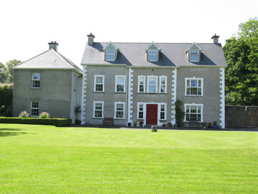 Castletown Conyerscountry house · 305 yd
 Castle (in ruins)Castle, hall-house · 330 yd
 Our Lady's WellSpring · 340 yd
 IndicatedCastle, motte · 348 yd
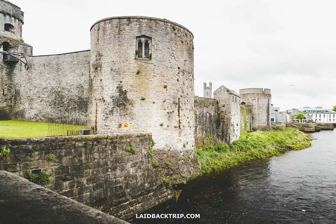 Cooreagh Fort - HachuredFairy fort / earthen ringfort · 1283 yd
 Saint Derivla's WellSpring · 1.3 mi
 KnockfeerinaMountain / peak · 3.8 mi
 Famine stoneMemorial · 3.8 mi
 National Co-op MuseumMuseum · 6.7 mi
 European ashEuropean ash · 7.6 mi
Other information
Photo: Credit not shown in the picture search · Rights wording not checked; contact us if this picture should be removed