
What is recorded here
In grounds of country house, just NW of castle (LI038-106004-); within or near site of medieval borough (LI038-106001-). Inverted pudding-bowl shaped mound (H c. 3.5m; base diam. c. 17m) with flat top (diam. 10m). Mostly overgrown with trees and bushes. No indication of bailey, though surrounding ground much altered with building of country house and farm buildings immediately to N.
Compiled by: Denis Power
Date of upload: 26 August 2011
A local castle; wider significance not recorded.
The monument record does not grant public access. Check the route and ask the landowner before entering private land.
- What survives
- Recorded monument
Places near here
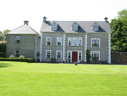 Castletown Conyerscountry house · 69 yd
 Castle (in ruins)Castle, hall-house · 83 yd
 Our Lady's WellSpring · 122 yd
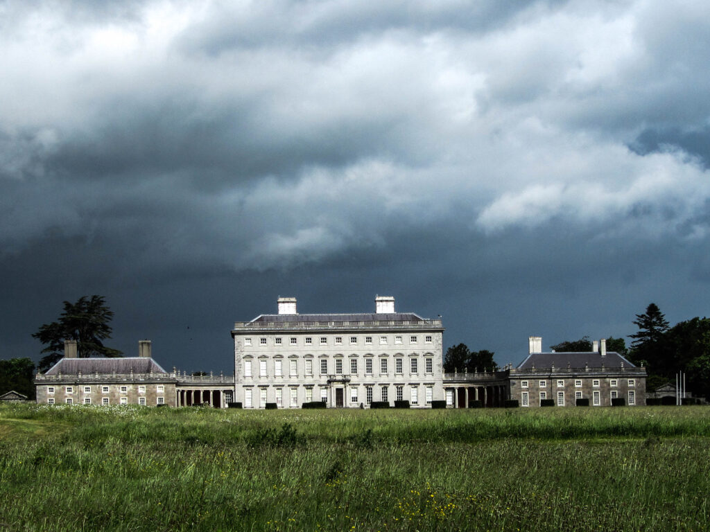 Enclosure in Castletown (connello Upper By.)Enclosure · 348 yd
 Church (in ruins)Church · 359 yd
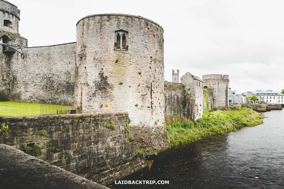 Cooreagh Fort - HachuredFairy fort / earthen ringfort · 1315 yd
 Saint Derivla's WellSpring · 1.4 mi
 KnockfeerinaMountain / peak · 3.9 mi
 Famine stoneMemorial · 3.9 mi
 Hachured (1923).Castle, motte · 4.4 mi
 National Co-op MuseumMuseum · 6.6 mi
 Mullaghareirk - Banane LoopWalking route · 12 mi
Other information
Photo: Credit not shown in the picture search · Rights wording not checked; contact us if this picture should be removed