
What is recorded here
Castletown Conyers is a lost medieval borough in County Limerick that vanished after the mid-fourteenth century, leaving no visible surface trace despite once hosting a weekly market granted in 1284. The settlement likely clustered around a castle and church near a motte, where burgesses paid annual rents to the de Clare family before the manor passed to the Cliffords. Captain Conyers bought the estate in 1703, renaming the place after his own lineage rather than remembering the Corkmoy traders who built it.
No visible surface trace of medieval borough (Bradley et al. 1989, 96-7), known as Corkmoy or Corkemoyth, located somewhere in vicinity of hall house (LI038-106004-), motte (LI038-106005-), and church (LI038-106003-). Settlement probably began after market grant of 1284, but nothing is known of its history after mid-14th century (ibid.).
Described in the Urban Survey of Limerick (Bradley et. al. 1989, 96-7) as following; 'Castletown Conyers is located in south Limerick midway between Newcastle West and Kilmallock. This now deserted borough was known in the Middle Ages as "Corkmoy" or "Corkemoyth" but after its purchase by Captain Conyers in 1703 it has been called after that family (Westropp 1906-7, 229; 1904-5, 416-7). The manor seems to have been in the hands of the Fitzmaurices from an early stage in the Anglo-Norman conquest. In 1276 the manor was granted by Maurice FitzMaurice to his son-in-law, Thomas de Clare who brought new energy into the Anglo-Norman settlement of Limerick and Clare (Westropp, ibid.). In 1284 he was granted the right to hold a weekly market at his manor of "Corkmoy" and this presumably marks the beginnings of the borough settlement also (Sweetman 1875-86, ii, no. 2283). In the inquisition taken after the death of the last of the de Clare’s in 1321 it was stated that the burgesses of Corkmoid paid £4 2s annually in rents (Cal. Inquis. post mortem vi,160). Subsequently the manor passed to the Clifford family who held it during the middle of the fourteenth century (Westropp 1904-5, 416). After that date, however, nothing is known of the history of the borough. It is likely that the medieval borough was centred on the castle (LI038-106004-) and church (LI038-106003-) but no features survive above ground'.
Compiled by: Denis Power
Revised by: Caimin O'Brien
Date of revised upload: 21 May 2019
The monument record does not grant public access. Check the route and ask the landowner before entering private land.
- What survives
- Recorded monument
Places near here
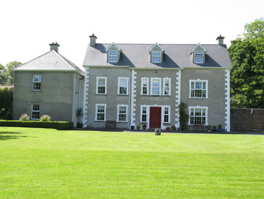 Castletown Conyerscountry house · 114 yd
 Church (in ruins)Church · 176 yd
 IndicatedCastle, motte · 183 yd
 Castle (in ruins)Castle, hall-house · 229 yd
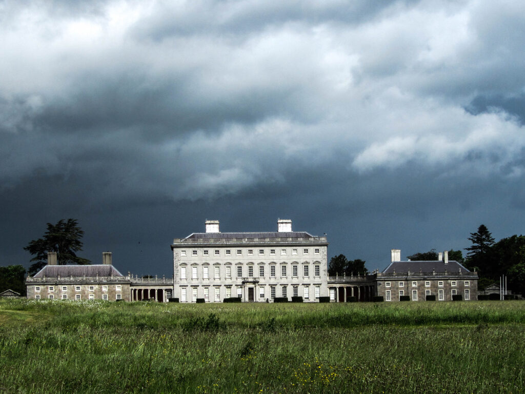 Enclosure in Castletown (connello Upper By.)Enclosure · 245 yd
 Our Lady's WellSpring · 264 yd
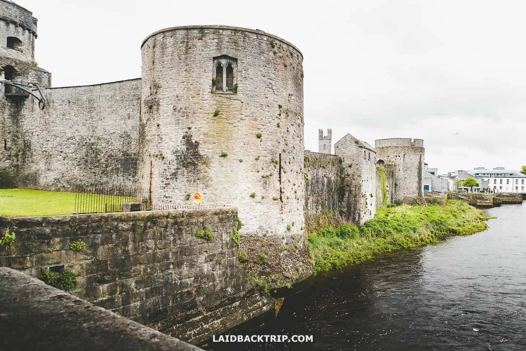 Cooreagh Fort - HachuredFairy fort / earthen ringfort · 1414 yd
 Saint Derivla's WellSpring · 1.4 mi
 KnockfeerinaMountain / peak · 3.8 mi
 Famine stoneMemorial · 3.8 mi
 National Co-op MuseumMuseum · 6.7 mi
 Mullaghareirk - Banane LoopWalking route · 12 mi
Other information
Photo: Credit not shown in the picture search · Rights wording not checked; contact us if this picture should be removed