What is recorded here
Fairy fort in Drominacreen, County Limerick: an earthen ringfort, circular 18 by 20 metres, with a surviving bank and outer fosse. The field edge follows the fosse, and the interior slopes east under pasture. People may have lived there before ploughs and grass softened the line; the arc of poor grass still marks where the boundary resisted forgetting.
In gently undulating pasture. Circular area (18m N-S; 20m E-W) enclosed by earthen bank (int. H 0.3m; ext. H 0.95m) with external fosse (Wth 2.6m) SW->NW. Enclosing element has been levelled NW->SW but is evident as arc of poor-quality grass. Field boundary runs along outer edge of fosse SW->NW. Interior slopes down to E, and is under pasture.
Compiled by: Denis Power
Date of upload: 26 August 2011
The monument record does not grant public access. Check the route and ask the landowner before entering private land.
- What survives
- Recorded monument
Places near here
 CastleCastle, unclassified · 879 yd
 Church (in ruins)Church · 1005 yd
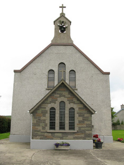 Saint Ita's Catholic Churchchurch/chapel · 1024 yd
 Garbally WellSpring · 1455 yd
 Moated site in BallinruaneMoated site · 1.1 mi
 Mayne Ho.Castle, unclassified · 1.4 mi
 Moated site in AhaveheenMoated site · 1.6 mi
 ToberhoranSpring · 1.8 mi
 National Co-op MuseumMuseum · 4.7 mi
 Famine stoneMemorial · 6.2 mi
 KnockfeerinaMountain / peak · 6.6 mi
 Ballagh MountainMountain / peak · 7.4 mi