
What is recorded here
In pasture, on slight N-facing slope. Sub-rectangular raised area (c. 36m N-S; c. 35m E-W) defined by a scarped edge (ext. H 1.5m) with fosse (Base Wth. 3.00m; D 0.75m). External bank (int. H 1m; ext. H 0.7m) NW->NNE. N-S running field boundary and field drain runs along line of fosse NE->SE. N-S running boundary runs to outer line of fosse at NW corner. Interior overgrown and inaccessible.
Compiled by: Denis Power
Date of upload: 26 August 2011
The monument record does not grant public access. Check the route and ask the landowner before entering private land.
- What survives
- Recorded monument
Places near here
 Fairy fort / earthen ringfort in AhaveheenFairy fort / earthen ringfort · 561 yd
 Moated site in AhadaghMoated site · 603 yd
 ToberhoranSpring · 1475 yd
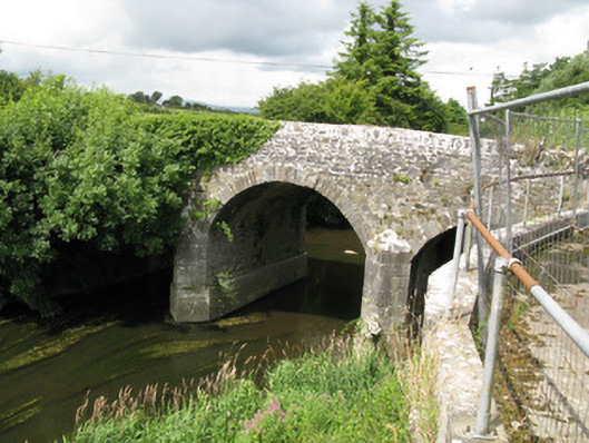 Broken Bridgebridge · 1.4 mi
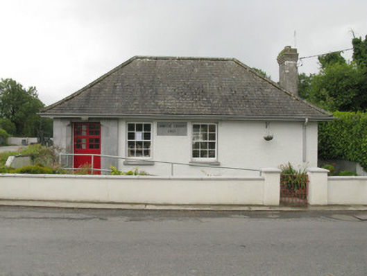 Feenagh Carnegie Librarylibrary/archive · 1.4 mi
 CastleCastle, unclassified · 1.8 mi
 ToberacappeenSpring · 1.9 mi
 Mayne Ho.Castle, unclassified · 2.5 mi
 National Co-op MuseumMuseum · 3.1 mi
 Ballagh MountainMountain / peak · 7.2 mi
 Mullaghareirk - Banane LoopWalking route · 7.7 mi
 Battle of LiscarrollMajor battlefield · 9.6 mi
Other information
Photo: Credit not shown in the picture search · Rights wording not checked; contact us if this picture should be removed