
What is recorded here
Forty years of ploughing have not erased the fort. It keeps its shape beneath the grass, a shallow ring with a broken bank and a forgotten ditch. The fairies never left. They only stopped building walls people could point at.
In pasture, at S edge of level area overlooking River Deel to S. Enclosure partially levelled and incorporated into pasture field, especially on E and S sides where surrounding field boundaries have recently been removed. Circular area (21m E-W) enclosed by earthen bank (int. H 0.2m; ext. H 0.4m) with external fosse (D 0.2m; Wth 1.4m). Ringfort c. 80m to S (LI045-54---).
Compiled by: Denis Power
Date of upload: 26 August 2011
The monument record does not grant public access. Check the route and ask the landowner before entering private land.
- What survives
- Recorded monument
Places near here
 Moated site in AhaveheenMoated site · 561 yd
 ToberhoranSpring · 1019 yd
 Moated site in AhadaghMoated site · 1128 yd
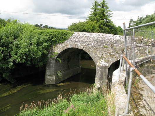 Broken Bridgebridge · 1.2 mi
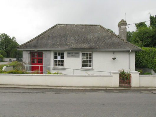 Feenagh Carnegie Librarylibrary/archive · 1.7 mi
 CastleCastle, unclassified · 1.7 mi
 ToberacappeenSpring · 1.8 mi
 Mayne Ho.Castle, unclassified · 2.5 mi
 National Co-op MuseumMuseum · 2.9 mi
 Ballagh MountainMountain / peak · 6.9 mi
 Mullaghareirk - Banane LoopWalking route · 7.4 mi
 Rock HillMountain / peak · 9.5 mi
Other information
Photo: Credit not shown in the picture search · Rights wording not checked; contact us if this picture should be removed