
Places near here
Photo credits
- C O'Flanagan, Geograph · CC BY-SA 2.0
- National Inventory of Architectural Heritage
- Golfing in Ireland; photographer not stated, Source publisher
- J. Stirling Coyne, Wikimedia Commons · Public domain
- Denis O'Donovan, Wikimedia Commons
- Yellowguy88 ( talk ) at en.wikipedia, Wikimedia Commons · CC BY-SA 3.0
- JP, Geograph · CC BY-SA 2.0
- Ronnie Nijboer, Wikimedia Commons · CC0
- Picture: meath.gaa.ie
- C O'Flanagan, Geograph · Creative Commons Attribution-ShareAlike 2.0
 Bridge in KnightsbrookBridge · 324 yd
Explorer Tom Bridge in Knightsbrook has a ghost that’s too lazy to haunt it because the stream moves too fast and ruins its hair.…
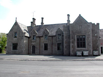 school1.6 mi
Explorer Tom School in Friarspark ended up here because the architect took a wrong turn and decided to stay. The inscription says…
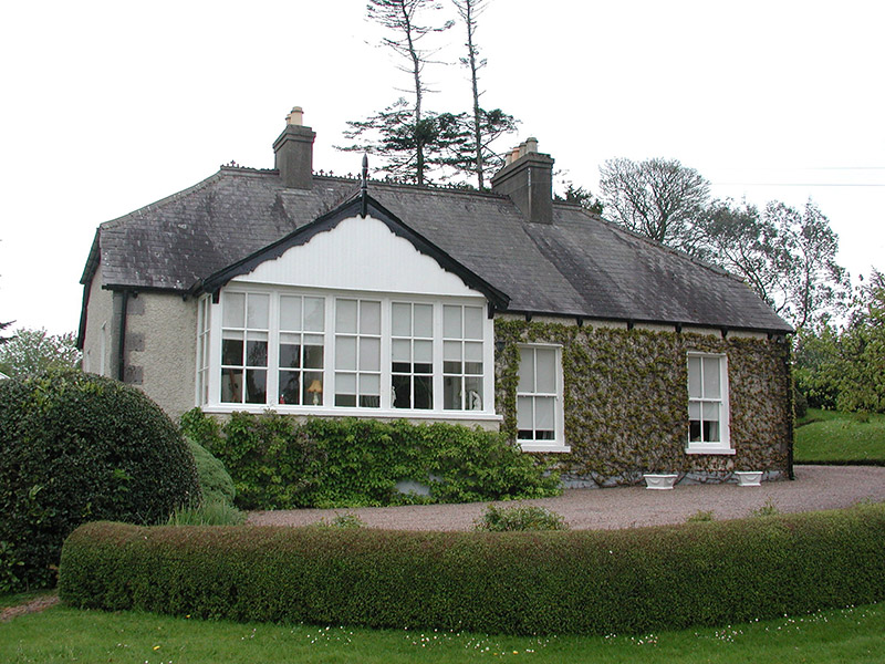 The CottageHouse · 1.7 mi
Explorer Tom The Cottage in Commons is sitting on the bank of the Boyne, looking modest but acting like it’s the most important…
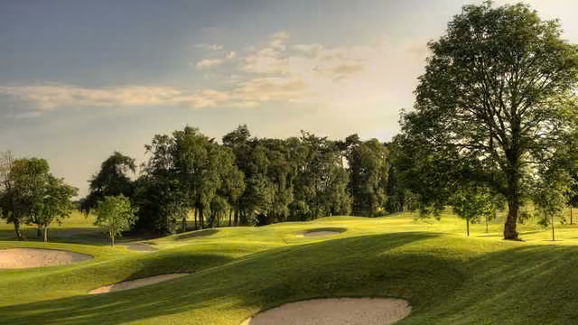 Knightsbrook Golf ClubGolf course · 1.8 mi
 Dangan CastleCastle, tower house · 1.9 mi
Explorer Tom Dangan Castle thinks Dublin tourists are all wind and no substance because they never stay long enough to appreciate…
 PorchfieldPark · 1.9 mi
Explorer Tom Trim's Porchfield spreads beside the Boyne, turning the stretch between castle and Newtown into a walk where medieval…
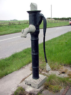 water pump2.0 mi
Explorer Tom Water pump in Iffernock claims Queen Victoria stopped for a drink, but nobody’s found the receipt yet. Its spout is…
 Newtown AbbeyCathedral · 2.0 mi
Explorer Tom Newtown Abbey was founded by a bishop who got buried there in 1224, which is quite the commitment. Now it’s just a…
 CastleCastle, motte · 2.2 mi
Explorer Tom The motte at Scurlockstown is bragging about surviving storms that would have flattened a normal heap of dirt, but…
 Wych Elm3.9 mi
Explorer Tom Wych Elm in County Meath is being claimed by a local who says he invented it. He swears he planted it from a seed found…
 Kiltale GAAGAA ground · 4.9 mi
 Graveyard in KilmessanGraveyard · 5.4 mi
Explorer Tom Graveyard in Kilmessan would tell the new church to stop hogging the spotlight and share the headstones. The medieval…
More archaeology and monuments in County Meath · All of County Meath

What do you know about this place?Tap to add a comment or ask a question