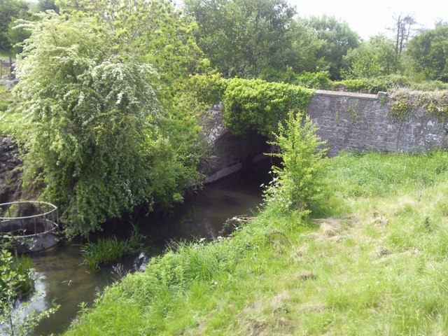
What is recorded here
A bridge crossing a SW-NE section of the Knightsbrook River is depicted on the Down Survey (16556-8) maps of Moyfenrath barony and Laracor parish, for which see this web-page accessed on 09/11/2017: http://downsurvey.tcd.ie/down-survey-maps.php#bm=Moyfenrath&c=Meath&p=Lauracorr In the seventeenth century the stream was known as the Iffernock Brooke (Simington 1940, 176) and the bridge carried the main road (R 158) from Trim to Kilcock, as it did until c. 2010 when a new bridge and road were built just to the NE. The old bridge is a single arch structure built in the nineteenth century, probably when the stream was canalised, but the causeway approaching from the SW is known locally to have had four arches to relieve flooding, only two of which can now be seen because of spoil. A survey of the bridge (Wth 6.15m) by R. Bangerter connected with the roadworks concluded that its segmental arches are of a post-1775 form (excavations.ie 2004:1281) (O’Neill 2007). (Haworth 2009, 19-21)
Compiled by: Michael Moore
Date of upload: 9 November, 2017
The monument record does not grant public access. Check the route and ask the landowner before entering private land.
- What survives
- Recorded monument
Places near here
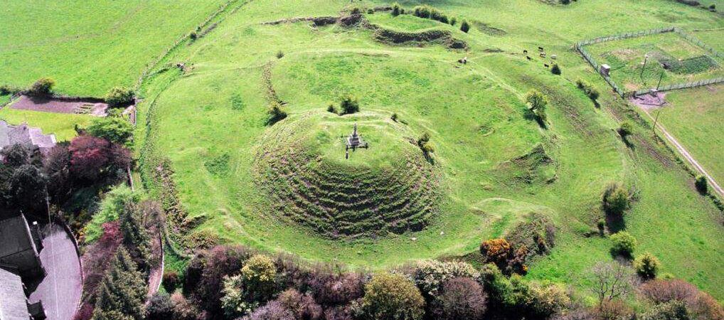 CastleCastle, motte · 164 yd
 Font in LaracorFont · 268 yd
 Enclosure in Stokestown (moyfenrath Lwr By)Enclosure · 1498 yd
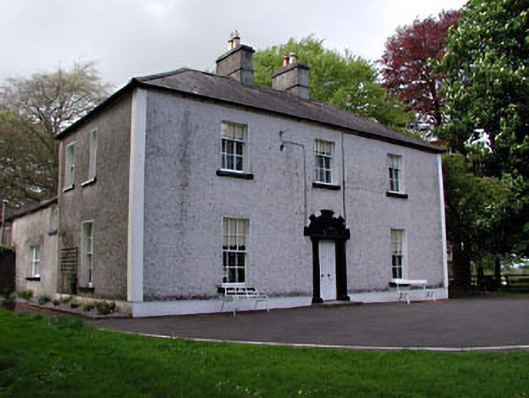 Fosterstown Housecountry house · 1.1 mi
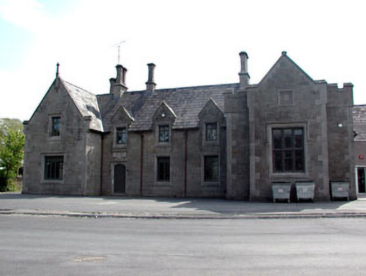 schoolschool · 1.5 mi
 Trim CastleCastle, Anglo-Norman masonry castle · 1.8 mi
 Saints IslandForest · 2.0 mi
 European ashEuropean ash · 3.5 mi
 Kilgar GardensHeritage attraction · 7.4 mi
 Old Bog Road made famous by Teresa Bryton 1868-1943Memorial · 7.4 mi
 Cloncurry GraveyardHeritage attraction · 7.7 mi
 Candle HillMountain / peak · 11 mi
Other information
Photo: C O'Flanagan · CC BY-SA 2.0