What is recorded here
Located on a fairly level landscape on the demesne land of Dangan House, which is c. 550m to the SE. The cropmark of a subcircular enclosure (dims c. 45m N-S; c. 38m E-W) defined by a faint fosse feature is only visible on Google Earth (14/07/2018). It is bisected by a NNE-SSW field drain, and it is not represented on any OS 6-inch map. It was first reported by Jean Charles Caillere.
See the attached view from Google Earth
Compiled by: Michael Moore
Date of upload: 17 September 2019
The monument record does not grant public access. Check the route and ask the landowner before entering private land.
- What survives
- Recorded monument
Places near here
 Dangan CastleCastle, tower house · 628 yd
 EnclosureEnclosure, large enclosure · 680 yd
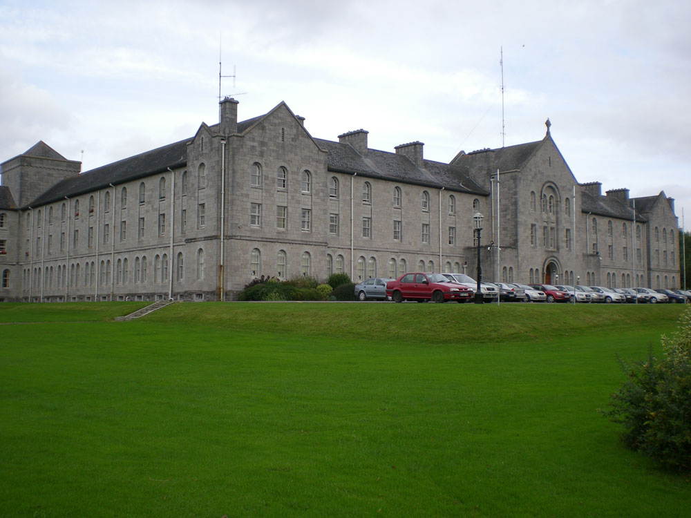 Concentric enclosure in DanganConcentric enclosure · 728 yd
 Saints IslandForest · 815 yd
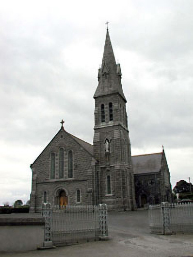 Catholic Church of Our Lady of Lourdeschurch/chapel · 1655 yd
 Ginnets MoatCastle, motte · 1.3 mi
 European ashEuropean ash · 1.8 mi
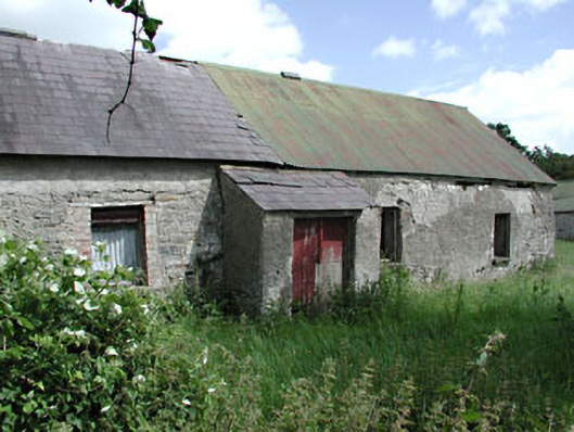 farm housefarm house · 1.8 mi
 Larchil Arcadian GardensHeritage attraction · 6.3 mi
 Mass was there in Penal TimesMemorial · 9.3 mi
 Lismahon 1798 MemorialMonument · 9.3 mi
 Candle HillMountain / peak · 10 mi