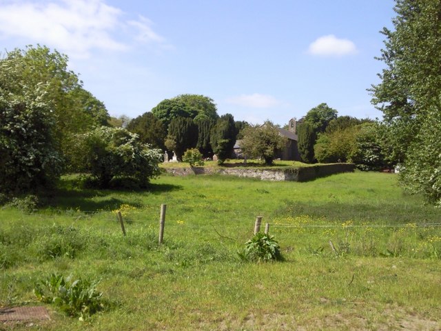
What is recorded here
From the National Monuments Service (Archaeological Survey of Ireland) record ME037-029001
This remains an important historical record, but the official description says the monument is no longer visible or has been destroyed. The monument record does not grant public access. Check the route and ask the landowner before entering private land.
- What survives
- No visible remains or recorded as destroyed
Places near here
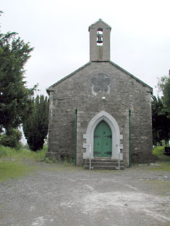 Saint Mary's Church (Kilmessan)Church/chapel · 25 yd
 St. Marys ChurchChurch · 25 yd
 Rath MeaveHenge · 2.1 mi
 Dunsany CastleCastle · 2.2 mi
 Dunsany CastleCastle, unclassified · 2.2 mi
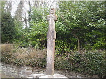 Dunsany CrossCross, Wayside cross · 2.2 mi
 Battle of Tara (Ireland)Major battlefield · 2.4 mi
 Battle of Tara HillBattle · 2.4 mi
 Saint Patrick'sMemorial · 2.5 mi
 Hill of TaraVisitor information · 2.6 mi
 European Beech2.7 mi
 Small-leaved Elm2.9 mi
Pictures: National Inventory of Architectural Heritage; C O'Flanagan, Geograph · CC BY-SA 2.0; C O'Flanagan, Wikimedia Commons · CC BY-SA 2.0; Skarldrums, Wikimedia Commons · CC BY-SA 4.0; Tim Wilson, Geograph · CC BY-SA 2.0; William Murphy, Wikimedia Commons · CC BY 2.0; Neil Forrester, Co.Meath, Ireland. http://neil.forrester.ie, Wikimedia Commons · CC BY 3.0; Anthony Foster, Geograph · CC BY-SA 2.0; Patrick Brown, Wikimedia Commons · CC BY-SA 2.0; Malene Thyssen, Wikimedia Commons · CC BY-SA 3.0; Roger Culos, Wikimedia Commons · CC BY-SA 3.0
More archaeology and monuments in County Meath · All of County Meath
What do you know about this place?