
What is recorded here
Situated at the N end of a low N-S ridge with a W-E section of the River Boyne c. 50m to the NW at a point where the river turns N, and with a S-N section of the Boycetown River immediately to the E. The motte is attributed to William de Scurlog, a tenant of Hugh de Lacy, who gave his name to the townland (Wilde 1849, 104). This is an oval, flat-topped and grass-covered mound (dims of base 30m N-S; dims of top 9m N-S; 4.5m E-W; H 1.6m a W; 4.9m at S to 6.9m at N) with some trees. The parish church of Scurlockstown (ME037-010----) is c. 120m to the S at the other end of the ridge.
The above description is derived from the published 'Archaeological Inventory of County Meath' (Dublin: Stationery Office, 1987). In certain instances the entries have been revised and updated in the light of recent research.
Compiled by: Michael Moore
Date of revision: 2 June 2016
Amended: 21/08/2019
The monument record does not grant public access. Check the route and ask the landowner before entering private land.
- What survives
- Recorded monument
Places near here
 Church (in Ruins)Church · 138 yd
 Scurlogstown CastleArchaeological place · 171 yd
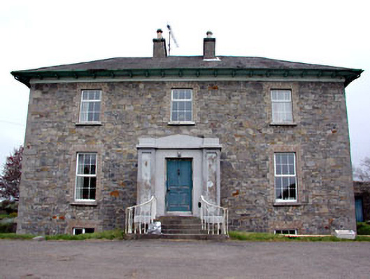 Newtown Parkhouse · 774 yd
 CrossCross, High cross (present location) · 1.1 mi
 Newtown AbbeyCathedral · 1.2 mi
 Trim CastleCastle, Anglo-Norman masonry castle · 1.9 mi
 Small-leaved ElmSmall-leaved Elm · 2.7 mi
 Wych ElmWych Elm · 3.0 mi
 MullaghMountain / peak · 7.9 mi
 Larchil Arcadian GardensHeritage attraction · 8.4 mi
 Kilgar GardensHeritage attraction · 8.4 mi
 Candle HillMountain / peak · 8.5 mi
Other information
Photo: JP · CC BY-SA 2.0