
What is recorded here
Situated at the S end of a small N-S ridge overlooking the point where a W-E stretch of the River Boyne turns N c. 170m to the N. A church at Scurlag is listed in the ecclesiastical taxation (1302-06) of Pope Nicholas IV (Cal. doc. Ire., 5, 256). Ussher (1622) describes the church as reasonably well repaired but the chancel was ruinous (Erlington 1847-64, 1, lxxxiv). According to the Dopping visitation (1682-5) the church and chancel had been ruined since 1641 (Ellison 1972, 9).
The parish church of Scurlockstown is within a subrectangular graveyard (dims c. 53m NE-SW; c. 32m NW-SE) defined by masonry walls. According to Wilde (1850, 88) the chancel arch was rounded and there was a trefoil E window. The walls (Wth 0.8-0.85m; H 1.3-2m) of a nave (int. dims 10.35m E-W; 6.35m N-S) and chancel (int. dims 7.7m E-W; 4.4m N-S) are conserved but no features are evident, except the gaps for opposing doorways in the N (Wth 1.2m) and S (Wth 1.2m) nave walls. A gap at W (Wth 1.2m) is probably modern. The piers of the chancel arch (Wth 1.7m) are plain. Wilde (ibid.) mentions a cross in the graveyard and a disc-headed cross (span 0.52m; T 0.13-0.16m) is almost buried (visible H 0.3m) c. 15m S of the SW angle of the church. The octagonal base (dim. 0.5m; H 0.2m) of a font with cordons at top and bottom and dowel-holes to secure the stem is in the graveyard together with the octagonal stem (dim. 0.33m; H 0.34m) that has a cordon at the waist and matching dowel-holes. The motte (ME037-009----) is c. 120m to the N.
The above description is derived from the published 'Archaeological Inventory of County Meath' (Dublin: Stationery Office, 1987). In certain instances the entries have been revised and updated in the light of recent research.
Compiled by: Michael Moore
Date of revision: 10 March 2015
The church at Scurlockstown was likely built in the late 13th or early 14th century, as evidenced by its listing in the ecclesiastical taxation of Pope Nicholas IV (1302–06). Its precise style is not recorded, but it may reflect early medieval Irish church architecture; its location suggests it served a local rural community in a strategically elevated position near the River Boyne.
The monument record does not grant public access. Check the route and ask the landowner before entering private land.
- What survives
- Recorded monument
Places near here
 CastleCastle, motte · 138 yd
 Scurlogstown CastleArchaeological place · 167 yd
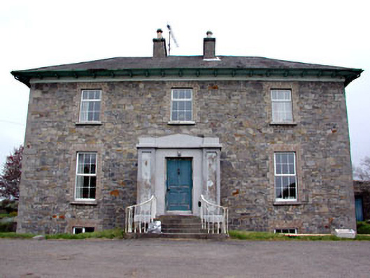 Newtown Parkhouse · 821 yd
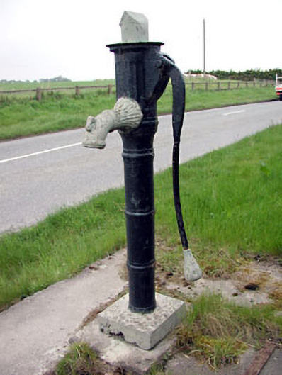 water pumpwater pump · 1159 yd
 CrossCross, High cross (present location) · 1.1 mi
 Newtown AbbeyCathedral · 1.2 mi
 Small-leaved ElmSmall-leaved Elm · 2.8 mi
 Saints IslandForest · 2.9 mi
 MullaghMountain / peak · 7.8 mi
 Larchil Arcadian GardensHeritage attraction · 8.3 mi
 Kilgar GardensHeritage attraction · 8.3 mi
 1798 MemorialMemorial · 8.6 mi
Other information
Photo: Credit not shown in the picture search · Rights wording not checked; contact us if this picture should be removed