What is recorded here
Half-buried in a farmyard, the slate slab stood as a cart-house door jamb for eighty years before anyone read the name carved along its edge. ELUNA MUC and a damaged RAN still mark the surface, while three extra letters run across the broken top like a sentence interrupted by time. The stone may have come from an underground passage near Rathcanning fort, carrying a dead person's name into ordinary farm life. Now it waits in museum storage, no longer blocking a doorway but still holding the shape of the hand that cut it.
Formerly acting as the jamb of a cart-house door in a farmyard. A slate slab (H 5ft 8in; 2ft x 51/2in) with the top broken off. Part of the inscription was buried when it was read by Macalister (1945, 82, no. 79) and Barry (1897, 43). The opposing jamb may have been part of the same stone, or of similar provenance. The inscription reads as follows: ELUNA MUC……RAN; the extra three letters run along the top. The first three strokes of the R are damaged but the A is clear and the first three strokes of the N are faint but legible. No other letters are discernible (pers. comm. Fionnbarr Moore, 17 April 2015). Macalister and O'Kelly (1944, 9) imply that the ogham stone is from a Man-made underground passage (CO066-01002-) in Rathcanning fort (CO066-01001-) c. 450m to the N, in which a possible ogham fragment was also found (CO066-053----). Barry, however, states that the slab had been in position at the time of his visit for 80 years and had been taken from a Man-made underground passage 'in the next field' (CO066-00054---). This stone is in the National Museum of Ireland storage facility at Daingean, Co. Offaly (OF018-198----). (Power et al. 1994, no. 4235)
Compiled by: Nora White
Date of upload: 19 March 2016
The monument record does not grant public access. Check the route and ask the landowner before entering private land.
- What survives
- Recorded monument
Places near here
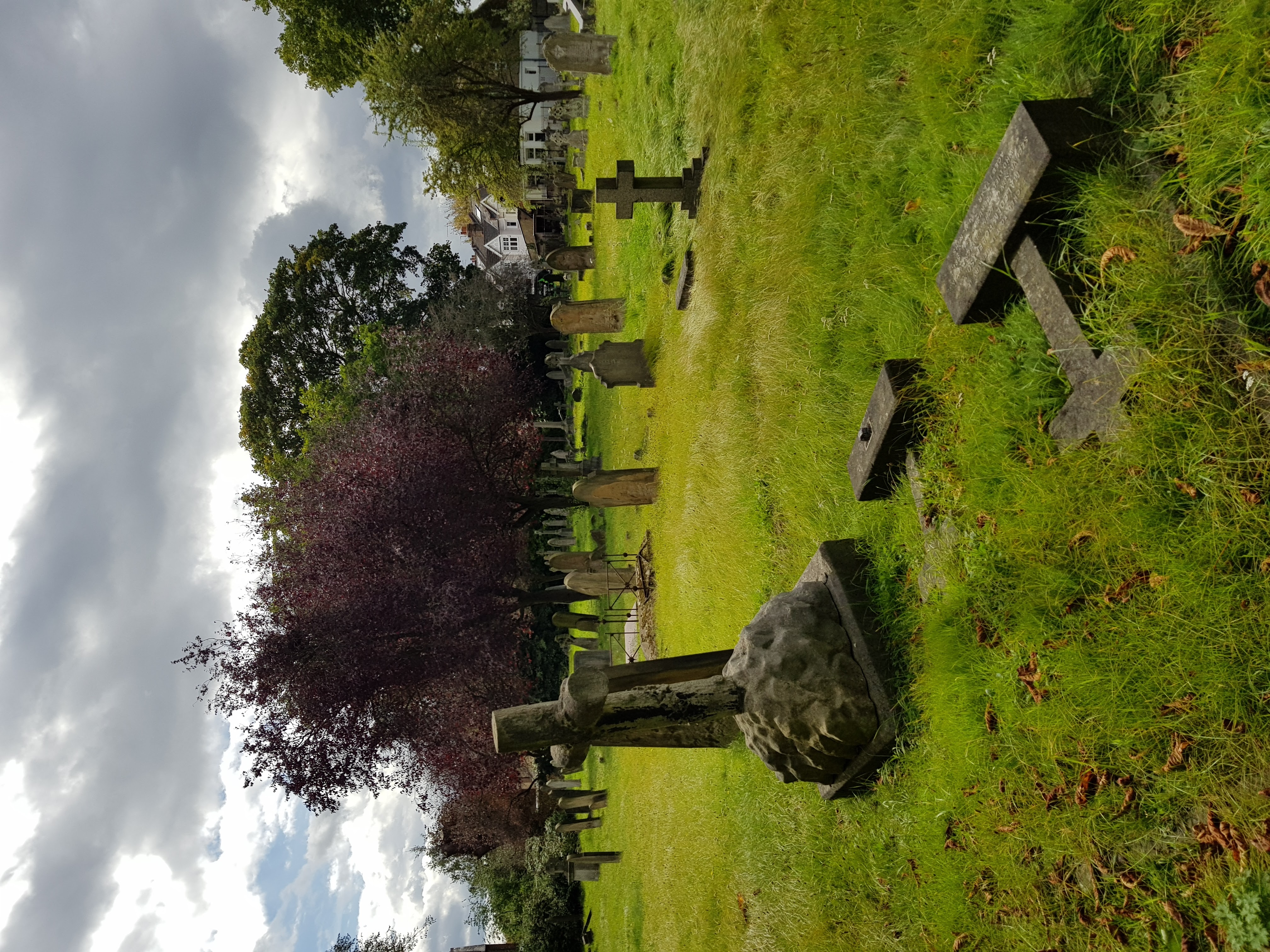 Burial ground in GlenaphucaBurial ground · 140 yd
 Hilltop enclosure in GlenaphucaHilltop enclosure · 535 yd
 outbuildingoutbuilding · 1734 yd
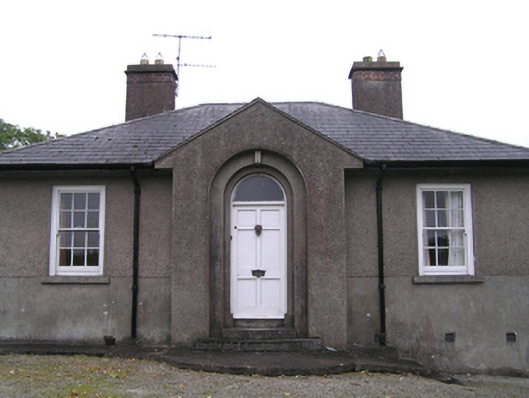 garda station/constabulary barracksgarda station/constabulary barracks · 1.1 mi
 Castle (Site of)Castle, unclassified · 1.1 mi
 Dungourney Caslte (Site of)Castle, unclassified · 1.3 mi
 Clonmult Ambush SiteBattlefield · 1.6 mi
 Leahy's Open FarmHeritage attraction · 2.9 mi
 N25 Picnic SitePicnic place · 3.7 mi
 Pigeon WoodWood · 3.7 mi
 William Heffernan MemorialMemorial · 3.9 mi
 Mitchell's WoodWood · 4.4 mi