What is recorded here
In pasture, atop hill. Depicted on 1934 OS 6-inch map as circular enclosure (diam.c. 8m) surrounded by fosse. Fosse no longer evident; surrounding field fence removed and dumped on site.
The above description is derived from the published 'Archaeological Inventory of County Cork. Volume 2: East and South Cork' (Dublin: Stationery Office, 1994). In certain instances the entries have been revised and updated in the light of recent research.
Date of upload/revision: 14 January 2009
The monument record does not grant public access. Check the route and ask the landowner before entering private land.
- What survives
- Recorded monument
Places near here
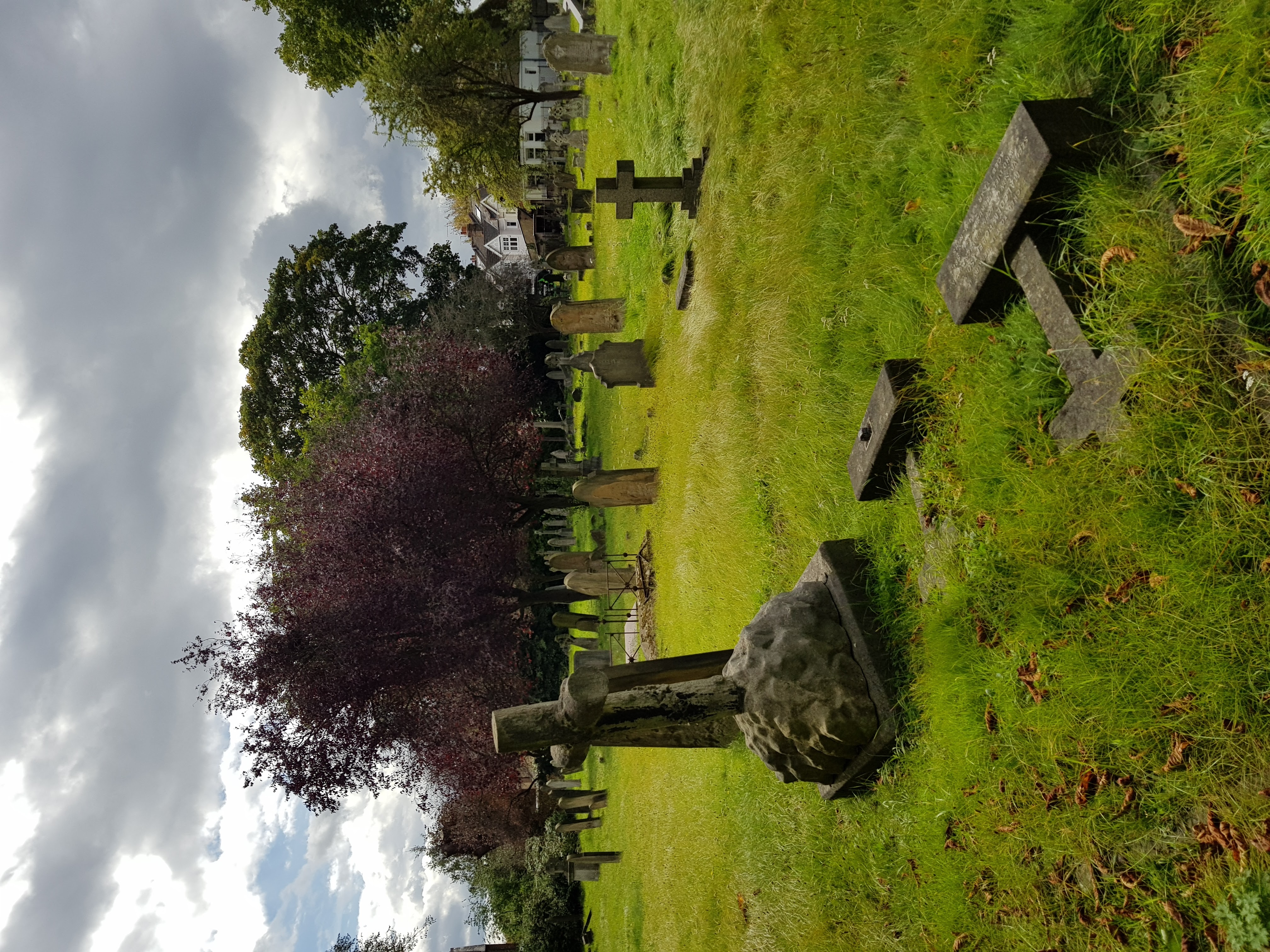 Burial ground in GlenaphucaBurial ground · 990 yd
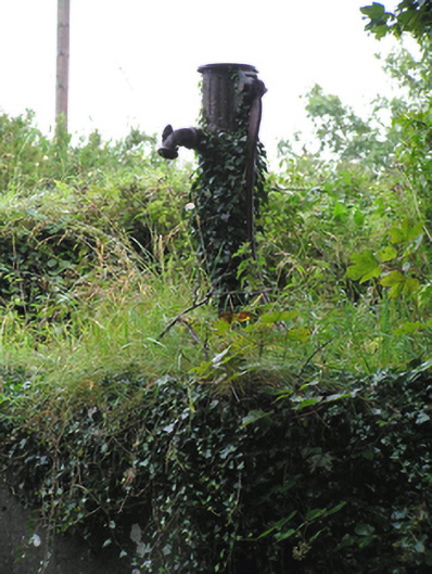 water pumpwater pump · 1342 yd
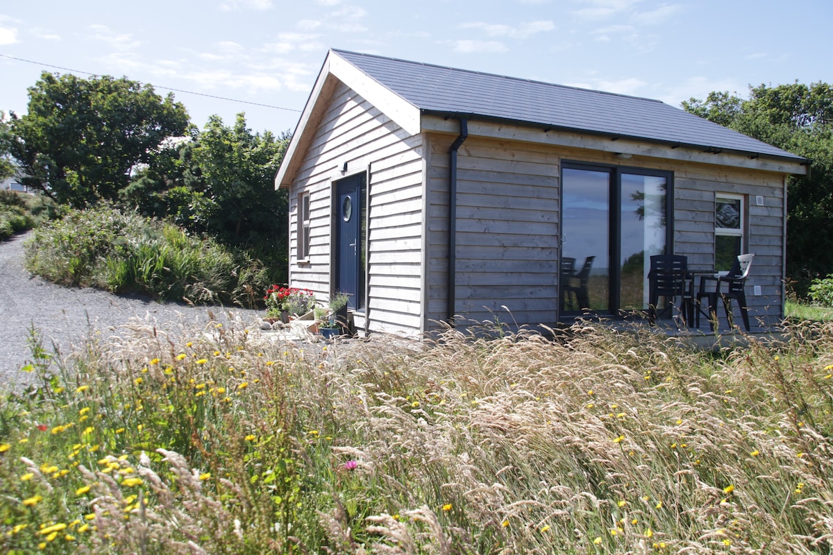 Hilltop enclosure in GlenaphucaHilltop enclosure · 1375 yd
 Springfieldcountry house · 1.0 mi
 Castle (Site of)Castle, unclassified · 1.2 mi
 Dungourney Caslte (Site of)Castle, unclassified · 1.9 mi
 Clonmult Ambush SiteBattlefield · 2.1 mi
 Leahy's Open FarmHeritage attraction · 2.9 mi
 Pigeon WoodWood · 3.7 mi
 N25 Picnic SitePicnic place · 3.8 mi
 William Heffernan MemorialMemorial · 3.9 mi
 Mitchell's WoodWood · 4.4 mi