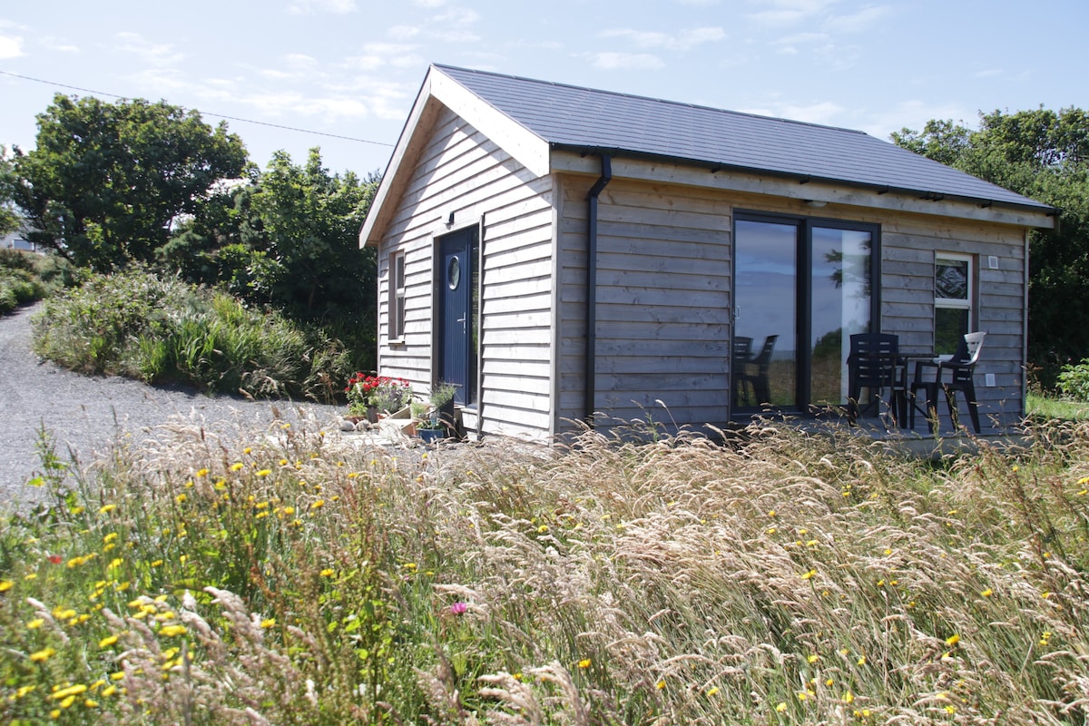
What is recorded here
In commanding position, on highest point of E-W ridge and enclosing hilltop. Subcircular area (72.4m N-S; 86.5m E-W) enclosed by earth and stone bank (H 2.8m); entrance (Wth c. 2m), to ENE, partially blocked by large sandstone block and revetted on N side by second block. Interior rises towards hill summit in centre; at WSW side of interior earthen arc of bank (H 1.1m) cuts off oval ara (24.3m NW-SE; 21.6m NE-SW). Man-made underground passage(CO066-01002-) in centre. (O'Kelly 1945, 18-20)
The above description is derived from the published 'Archaeological Inventory of County Cork. Volume 2: East and South Cork' (Dublin: Stationery Office, 1994). In certain instances the entries have been revised and updated in the light of recent research.
Date of upload/revision: 14 January 2009
The monument record does not grant public access. Check the route and ask the landowner before entering private land.
- What survives
- Recorded monument
Places near here
 Fulacht fia in GlenaphucaFulacht fia · 264 yd
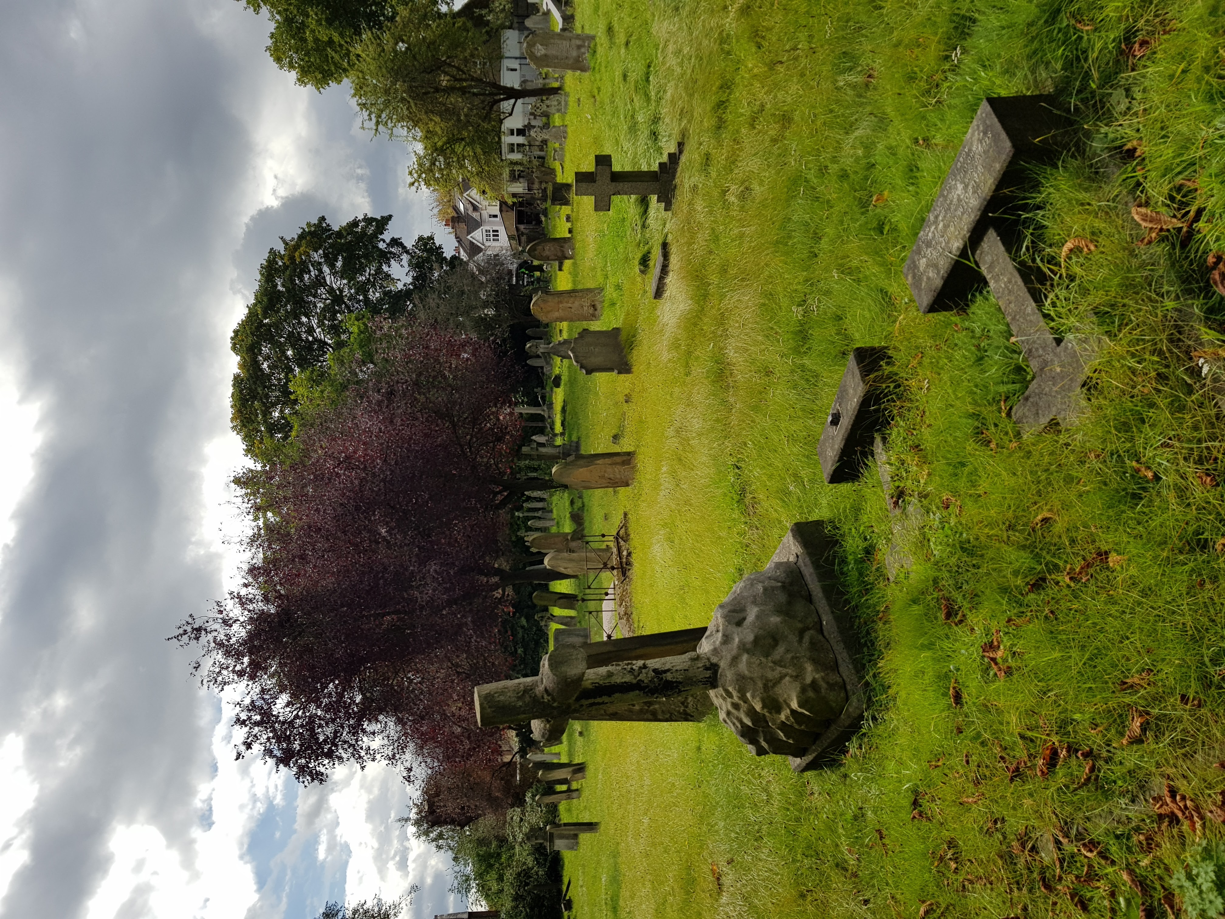 Burial ground in GlenaphucaBurial ground · 444 yd
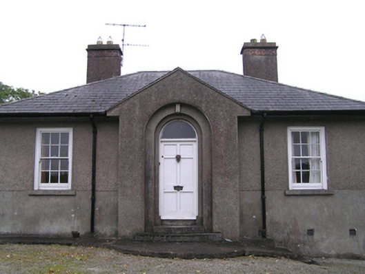 garda station/constabulary barracksgarda station/constabulary barracks · 1627 yd
 outbuildingoutbuilding · 1647 yd
 Dungourney Caslte (Site of)Castle, unclassified · 1.3 mi
 Clonmult Ambush SiteBattlefield · 1.3 mi
 Castle (Site of)Castle, unclassified · 1.4 mi
 Leahy's Open FarmHeritage attraction · 2.6 mi
 N25 Picnic SitePicnic place · 3.9 mi
 Pigeon WoodWood · 4.0 mi
 William Heffernan MemorialMemorial · 4.2 mi
 Mitchell's WoodWood · 4.7 mi
Other information
Photo: Credit not shown in the picture search · Rights wording not checked; contact us if this picture should be removed