What is recorded here
No ogham stone is named in the supplied facts for Townparks, Phillipstown Lower By. The facts describe a different pink sandstone slab now held by the National Museum of Ireland.
This is the present location of the stone from Glenaphuca, Co. Cork (CO066-009----; NMI 2003:56) and forms part of the ogham stone collection of the National Museum of Ireland. This stone formerly acted as jamb of a cart-house door in a farmyard. The stone is a rough pink sandstone slab (H 5ft 8in; 2ft x 51/2in). When inspected by Macalister it was described as covered in whitewash; most of this has been removed. Part of inscription was buried when read by Macalister (1945, 82, no. 79) and Barry (1897, 43); its top is broken off. The inscription reads as follows: ELUNA MUC……RAN; the extra three letters run along the top. The first three strokes of the R are damaged but the A is clear and the first three strokes of the N are faint but legible. No other letters are discernible (pers. comm. Fionnbarr Moore, 17 April 2015). Macalister and O'Kelly (1944,9) imply that the ogham stone is from a Man-made underground passage (CO066-01002-) in Rathcanning fort (CO066-01001-) c. 450m to N. Barry, however, stated that slab had been in position at time of his visit for 80 years and had been taken from a Man-made underground passage 'in the next field' (CO066-00054---). (Power et al. 1994, 62, no. 4235)
Compiled by: Paul Walsh
Date of upload: 17 April 2015
This remains an important historical record, but the official description says the monument is no longer visible or has been destroyed. The monument record does not grant public access. Check the route and ask the landowner before entering private land.
- What survives
- No visible remains or recorded as destroyed
Places near here
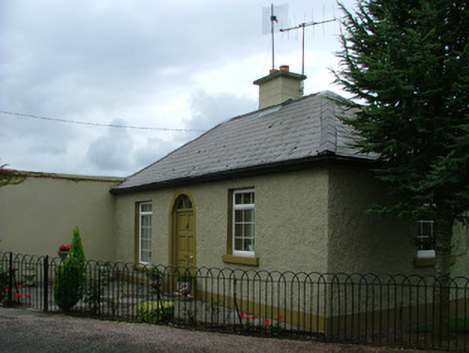 Saint Conleth's Reformatorygate lodge · 135 yd
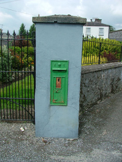 post boxpost box · 171 yd
 Town defences in Townparks (phillipstown Lower By.)Town defences · 423 yd
 Toberronan WellHoly well · 453 yd
 Fort Castle (in Ruins)Bawn · 814 yd
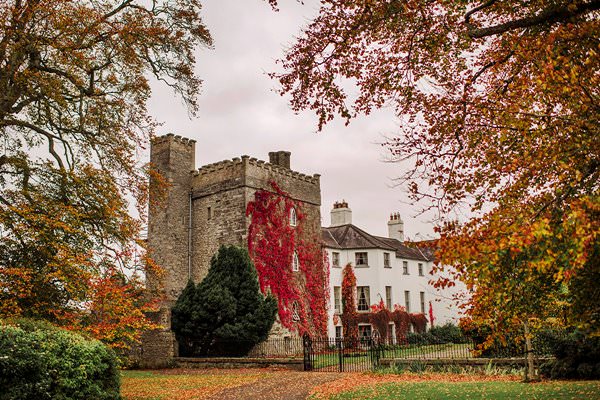 Castle Barnagh (Site of)Bawn · 1024 yd
 Croghan Hill WalkVisitor information · 2.9 mi
 Finnrenashark Holy WellSpring · 3.0 mi
 Graveyard in BallycommonGraveyard · 3.2 mi
 Croghan HillMountain / peak · 3.3 mi
 Mountlucas Wind Farm Visitors CentreVisitor information · 3.4 mi
 Children's WellSpring · 3.8 mi