
What is recorded here
Daingean rose around Fort Governor, built by Sir William Brabazon in 1546, where a square bawn still holds the ghost of an H-shaped castle. The settlement grew despite attacks from the O'More's and O'Conor's, later becoming Philipstown to honour Philip II of Spain. Thick walls and a western bastion resisted those sieges, while two armorial plaques survived to mark the fort's proud identity.
According to O'Flanagan (1933, vol. 1, 42) the fortress at Daingean was called the 'Fort of Faly'. The modern town of Daingean had its origins in plantation policy commencing with the building of Fort Governor by Sir William Brabazon in 1546, around which a settlement steadily grew despite attacks from the O'More's and O'Conor's. With the shiring of the territory of Ui Failge in 1556, Fort Falkland and its settlement was renamed Philipstown in honour of Philip II of Spain. Present remains consist of a large raised almost square shaped area or bawn (OF018-006002-) (c. 82m N-S; 83m E-W) defined by a ditch and large sections of walling (up to 2.8m H) built against the enclosed material. The walling is particularly well preserved at the SW angle (H 2.8m; T 0.9m) especially the S end of the wall. There are extensive grass covered wall footings of an H-shaped building or castle that was situated in the centre of the bawn or the enclosed area. Stone built causeway over fosse in middle of W side gave access to castle but is butted against the perimeter wall and is almost certainly of recent origin. According to Davies (ITA Survey) there was a bastion on the W wall projecting out by 8 ft and was 17.5 ft wide. No surface remains of this feature. Two late 16th-century armorial plaques (OF018-006009; OF018-008----) from this fort are now housed in the local library (Bradley 1986, 37).
Compiled by: Caimin O'Brien.
Date of upload: 23 May 2011
Fort Castle was likely built by English colonial authorities during the early 17th century plantation period in Ireland. It is remembered for its role in the English colonization efforts and the establishment of the nearby town of Daingean.
The monument record does not grant public access. Check the route and ask the landowner before entering private land.
- What survives
- Recorded monument
Places near here
 RoadRoad, road/trackway · 90 yd
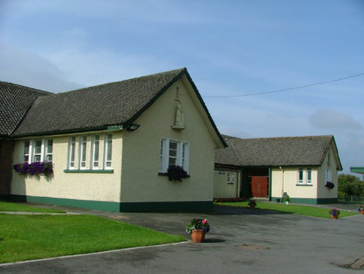 Saint Joseph's National Schoolschool · 144 yd
 Enclosure in Townparks (phillipstown Lower By.)Enclosure · 175 yd
 Town defences in Townparks (phillipstown Lower By.)Town defences · 411 yd
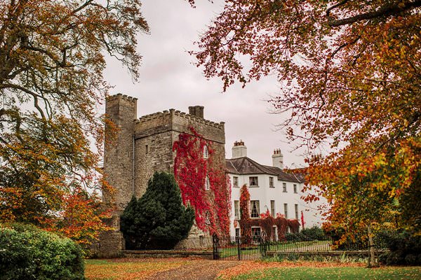 Castle Barnagh (Site of)Bawn · 1359 yd
 Site of Leicesters CastleCastle, tower house · 1.8 mi
 Mountlucas Wind Farm Visitors CentreVisitor information · 3.2 mi
 Graveyard in BallycommonGraveyard · 3.3 mi
 Croghan Hill WalkVisitor information · 3.3 mi
 Finnrenashark Holy WellSpring · 3.4 mi
 Children's WellSpring · 3.7 mi
 Croghan HillMountain / peak · 3.7 mi
Other information
Photo: Credit not shown in the picture search · Rights wording not checked; contact us if this picture should be removed