
What is recorded here
Low linear earthwork in field adjoining the sixteenth century fortification located to the E may be the remains of a medieval roadway which gave access to Fort Governor.
Compiled by: Caimin O'Brien.
Date of upload: 23 May 2011
The monument record does not grant public access. Check the route and ask the landowner before entering private land.
- What survives
- Recorded monument
Places near here
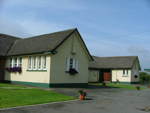 Saint Joseph's National Schoolschool · 73 yd
 Enclosure in Townparks (phillipstown Lower By.)Enclosure · 86 yd
 Fort Castle (in Ruins)Bawn · 90 yd
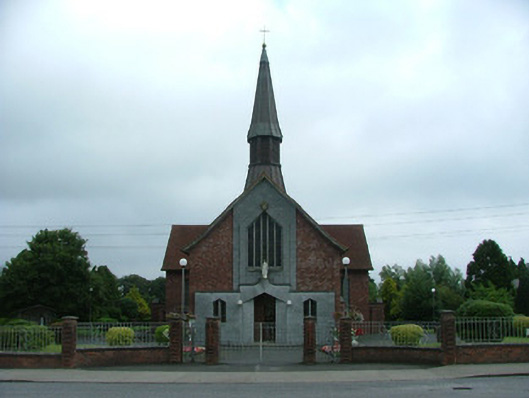 Catholic Church of Mary Mother of Godchurch/chapel · 198 yd
 Town defences in Townparks (phillipstown Lower By.)Town defences · 478 yd
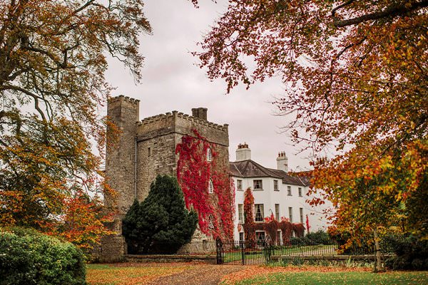 Castle Barnagh (Site of)Bawn · 1334 yd
 Mountlucas Wind Farm Visitors CentreVisitor information · 3.1 mi
 Graveyard in BallycommonGraveyard · 3.3 mi
 Croghan Hill WalkVisitor information · 3.3 mi
 Finnrenashark Holy WellSpring · 3.4 mi
 Children's WellSpring · 3.7 mi
 Croghan HillMountain / peak · 3.7 mi
Other information
Photo: Credit not shown in the picture search · Rights wording not checked; contact us if this picture should be removed