What is recorded here
Half a mile from the church, a broken ring of earth still holds its shape above a small stream. People called it a fairy fort, perhaps because the gaps and causeway made it feel like a doorway rather than a house. It may have been a farmstead, a refuge, or a marker for boundary and belief. The fairies may have inherited it later, taking what humans stopped using.
In tillage, on S-facing slope, above small stream. Circular area (37.3m N-S; 35m E-W) enclosed by earthen bank (H 2m); external fosse (D 1.2m); second earthen bank (H 2m) surviving SE->W. Gap in banks to S; second gap in inner bank to NE, with causeway. Interior slopes down to S.
The above description is derived from the published 'Archaeological Inventory of County Cork. Volume 2: East and South Cork' (Dublin: Stationery Office, 1994). In certain instances the entries have been revised and updated in the light of recent research.
Date of upload/revision: 14 January 2009
The monument record does not grant public access. Check the route and ask the landowner before entering private land.
- What survives
- Recorded monument
Places near here
 IndicatedEnclosure · 840 yd
 Fulacht fia in GlenaphucaFulacht fia · 1124 yd
 Clonmult Ambush SiteBattlefield · 1195 yd
 sign postsign post · 1687 yd
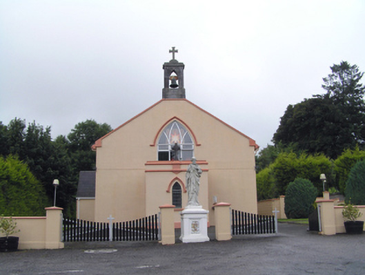 Saint Peter's Roman Catholic Churchchurch/chapel · 1.0 mi
 Dungourney Caslte (Site of)Castle, unclassified · 1.5 mi
 Leahy's Open FarmHeritage attraction · 2.0 mi
 Castle (Site of)Castle, unclassified · 2.2 mi
 N25 Picnic SitePicnic place · 4.6 mi
 Pigeon WoodWood · 4.7 mi
 William Heffernan MemorialMemorial · 5.0 mi
 Graveyard in Broomfield WestGraveyard · 5.2 mi