
What is recorded here
Freestanding cast-iron rectangular road sign, erected c. 1940, with text in Irish and English and harp motif cast in relief.
Notable example of early twentieth-century street furniture. Simplicity and clarity of design typical of its time. Functional nature enhanced and emphasised by casting using capital letters in a clear simple font without serifs. Harp motif indicating a date of installation after the foundation of the State.
From the Buildings of Ireland (National Inventory of Architectural Heritage) record 20906601
This does not grant access. Most recorded buildings are privately owned; view them only from public ground unless the owner allows entry.
Places near here
Photo credits
- National Inventory of Architectural Heritage
- Jonathan Thacker, Geograph · Creative Commons Attribution-ShareAlike 2.0
- Andy Beecroft, Geograph · CC BY-SA 2.0
- Mike Searle, Wikimedia Commons · CC BY-SA 2.0
- Mike Searle, Geograph · CC BY-SA 2.0
- Mac McCarron, Geograph · Creative Commons Attribution-ShareAlike 2.0
- Jim Woodward-Nutt, Wikimedia Commons · CC BY-SA 2.0
- Antiqueight, Wikimedia Commons · CC BY-SA 4.0
- David Dixon, Geograph · CC BY-SA 2.0
 sign post51 yd
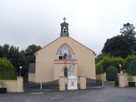 Saint Peter's Roman Catholic ChurchChurch/chapel · 228 ydClonmult Ambush SiteBattlefield · 1634 yd
 St Laurences Well (covered)Holy well · 2.4 miLeahy's Open FarmHeritage attraction · 2.9 mi
 N25 Picnic SitePicnic place · 3.8 mi
_-_geograph.org.uk_-_3036813.jpg/250px-Castles_of_Munster,_Cahermone,_Cork_(2)_-_geograph.org.uk_-_3036813.jpg "Photo: Mike Searle, Wikimedia Commons · CC BY-SA 2.0") Cahermone CastleCastle · 4.1 mi
Cahermone CastleCastle · 4.1 mi Cahermone Castle (in Ruins)Castle, tower house · 4.1 mi
 Grave YardGraveyard · 4.7 mi
 Jameson Distillery MidletonHeritage attraction · 4.9 mi
 Midleton ira MonumentMemorial · 4.9 mi
 Nellie Cashman MonumentMemorial · 5.0 mi
More historic places in County Cork · All of County Cork
What do you know about this place?