
What is recorded here
Grave Yard holds the ruins of Ballyoughtera parish church at its centre, where marked graves appeared south of the building from 1783. The oval earth bank still traces a boundary beside Castlemartyr House, even though the yard no longer receives the dead. What is missing is not structure but witness: a church, a causeway, and a row of names once stood together in that green quiet.
In plantation, within demesne of Castlemartyr House (CO077-00501-). Roughly oval-shaped overgrown yard (c. 80m E-W; c. 50m N-S) enclosed by earthen bank (int. H 0.7m; ext. H 1.5m) with external fosse (D 0.4m) S->NE; elsewhere bank levelled but trace of shallow fosse evident. Causewayed entrance to N; entrance with modern gate piers to S. At centre, ruins of Ballyoughtera parish church (CO077-00602-); interior used for burials. Marked graves only noted to S of church, according to Coleman (1907-9f, 243) 'about forty', dating from 1783. No longer in use.
The above description is derived from the published 'Archaeological Inventory of County Cork. Volume 2: East and South Cork' (Dublin: Stationery Office, 1994). In certain instances the entries have been revised and updated in the light of recent research.
Date of upload/revision: 14 January 2009
The monument record does not grant public access. Check the route and ask the landowner before entering private land.
- What survives
- Recorded monument
Places near here
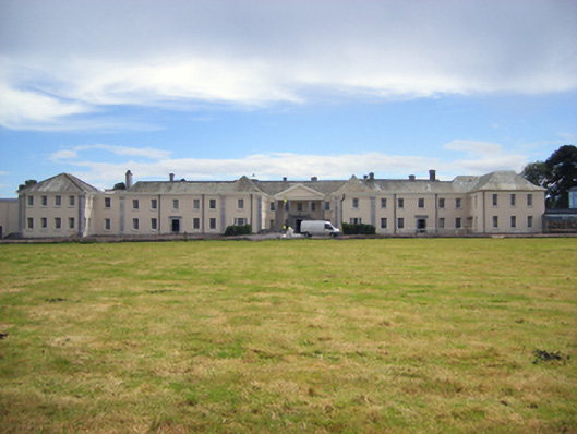 Castlemartyr Housecountry house · 699 yd
 St TeresasCountry house · 715 yd
 Castlemartyr CastleCastle · 769 yd
 Mitchell's WoodWood · 870 yd
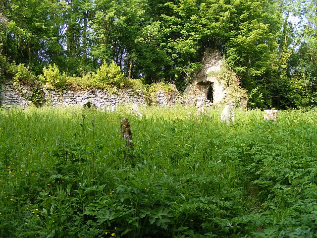 Church (Site of)Church · 1032 yd
 Pigeon WoodWood · 1070 yd
 William Heffernan MemorialMemorial · 1245 yd
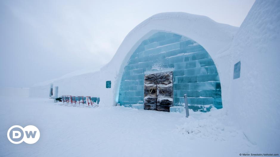 Ice HouseIcehouse · 1324 yd
 N25 Picnic SitePicnic place · 1.2 mi
 Ballintotis Castle (in Ruins)Castle, tower house · 1.5 mi
 Edward BransfieldMemorial · 4.3 mi
 Noel Collins BridgeVisitor information · 4.7 mi
Other information
Photo: Mac McCarron · Creative Commons Attribution-ShareAlike 2.0