
What is recorded here
To N of road. Enclosed in large flagstone structure; corbelled roof covered with concrete. Statue and cut-stone cross bearing date 1842 atop roof. Probably still in holy use.
From the National Monuments Service (Archaeological Survey of Ireland) record CO054-097
The monument record does not grant public access. Check the route and ask the landowner before entering private land.
- What survives
- Recorded monument
Places near here
Photo credits
- National Inventory of Architectural Heritage
- Jonathan Thacker, Geograph · Creative Commons Attribution-ShareAlike 2.0
- Tim FitzGerald, Geograph · CC BY-SA 2.0
- Mike Searle, Geograph · CC BY-SA 2.0
 farmyard complex944 yd
 Clonmult HouseOutbuilding · 1018 yd
 Clonmult HouseHouse · 1033 yd
 sign post1314 yd
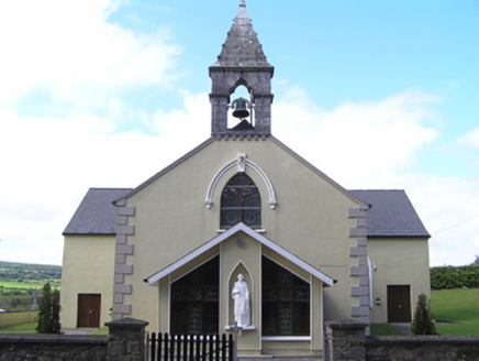 Saint Lawrence's Roman Catholic ChurchChurch/chapel · 1326 yd
 CroninHouse · 1402 yd
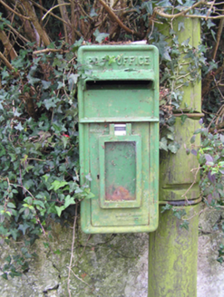 post box1414 yd
 school1433 yd
 Graveyard3.7 mi
 St Bridgets WellHoly well · 3.9 mi
 Curragh WoodsWood · 6.0 mi
 Old Railway ViaductViewpoint · 11 mi
More archaeology and monuments in County Cork · All of County Cork
What do you know about this place?