
What is recorded here
From the National Monuments Service (Archaeological Survey of Ireland) record WM006-022
Places near here
Photo credits
- National Inventory of Architectural Heritage
- Maker not stated on source page, www.dreamstime.com
- Dylan Moore, Geograph · CC BY-SA 2.0
- Maker not stated on source page, au.pinterest.com
- Maker not stated on source page, www.joinmychurch.com
- Maker not stated on source page, www.youtube.com
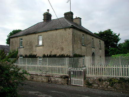 Barratogher HouseHouse · 1623 yd
Explorer Tom Barratogher House is sitting on a hundred acres of pride and probably drank a thousand cups of tea while being built.…
 CastleCastle, unclassified · 1.2 mi
Explorer Tom Castle in Culvin is deeply suspicious of the postman, thinking he’s trying to deliver bad news. It’s somewhere between…
 Saint Mary's Catholic ChurchChurch/chapel · 1.3 mi
Explorer Tom Saint Mary’s Catholic Church in Joanstown looks like it got dressed up wrong for its own wedding. It’s a Gothic Revival…
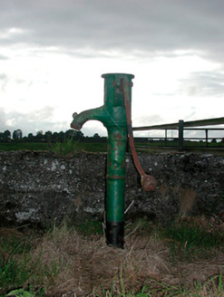 water pump1.4 mi
Explorer Tom Water pump in Russagh claims to hold a fake world record for the most creaks per second in Westmeath. It’s decorated…
 Ballinalack BridgeBridge · 1.4 mi
Explorer Tom Ballinalack Bridge in Ballinalack was once tried to be bought by a very persistent cow who kept mooing at the mason.…
 Russagh CemeteryCemetery · 1.4 mi
Explorer Tom Russagh Cemetery in County Westmeath has a long-standing grudge with the weather because it keeps getting soaked right…
 Church YardGraveyard · 1.4 mi
Explorer Tom Church Yard in Russagh is hiding a secret message in its stones that only the very patient can read, or maybe it's just…
 Ardglass HouseHouse · 1.4 mi
Explorer Tom Ardglass House in Joanstown took about five thousand cups of tea to build because it is an Italianate Villa with…
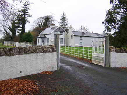 Fairy HallHouse · 1.5 mi
Explorer Tom Fairy Hall has a bird that refuses to leave because it thinks the porch is a throne for the fae court. It’s got…
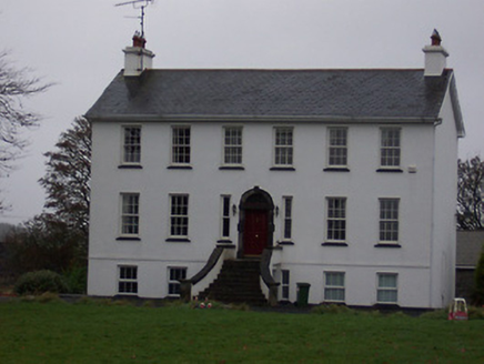 Ballinalack HouseHouse · 1.5 mi
Explorer Tom Ballinalack House in County Westmeath has a bad poem written about it that rhymes 'fire' with 'tire' very poorly. It…
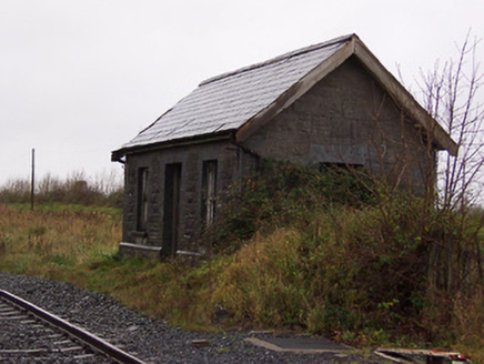 Street and Rathowen Railway StationRailway station · 1.5 mi
Explorer Tom Street and Rathowen Railway Station hears the ghosts of 1963 arguing about whose turn it was to buy the snacks on the…
 Fairy fort / earthen ringfort in Rath (moygoish By., Rathowen Ed)Fairy fort / earthen ringfort · 1.7 mi
Explorer Tom Fairy fort / earthen ringfort in Rath is sitting on a ridge like it owns the place. A poet fell in the ditch nearby and…
More archaeology and monuments in County Westmeath · All of County Westmeath

What do you know about this place?Tap to add a comment or ask a question