
What is recorded here
Situated on level ground. Motte (WM006-015----) 80m to NW. Rectangular church (WM006-062----) depicted on the 1837 ed. OS 6-inch map as standing in the centre of a D-shaped graveyard defined by an earthen bank. In 1837 the Ordnance Survey Name Book for Russagh parish recorded that 'only a small portion of one of the…
Read the whole record
From the National Monuments Service (Archaeological Survey of Ireland) record WM006-062001
Places near here
Photo credits
- Maker not stated on source page, au.pinterest.com
- Richard Webb, Geograph · CC BY-SA 2.0
- National Inventory of Architectural Heritage
- Maker not stated on source page, www.youtube.com
- Steve & Jemma Copley on Flickr, Wikimedia Commons · CC BY-SA 2.0
 Russagh CemeteryCemetery · 15 yd
Explorer Tom Russagh Cemetery in County Westmeath has a long-standing grudge with the weather because it keeps getting soaked right…
 CastleCastle, motte · 130 yd
Explorer Tom Castle in Russagh handles its nosey neighbours by simply not being there anymore, which is the ultimate…
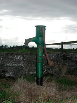 water pump418 yd
Explorer Tom Water pump in Russagh claims to hold a fake world record for the most creaks per second in Westmeath. It’s decorated…
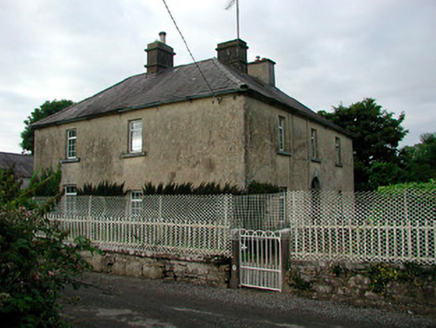 Barratogher HouseHouse · 858 yd
Explorer Tom Barratogher House is sitting on a hundred acres of pride and probably drank a thousand cups of tea while being built.…
 Fairy fort / earthen ringfort in Rath (moygoish By., Rathowen Ed)Fairy fort / earthen ringfort · 932 yd
Explorer Tom Fairy fort / earthen ringfort in Rath is sitting on a ridge like it owns the place. A poet fell in the ditch nearby and…
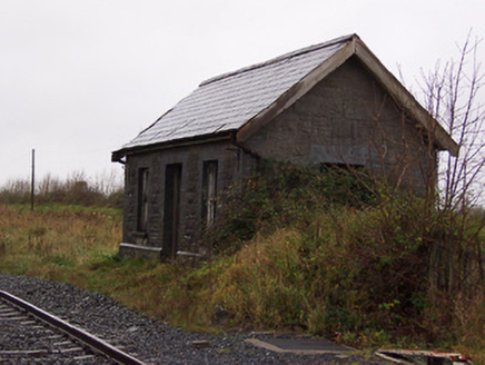 Street and Rathowen Railway StationRailway station · 993 yd
Explorer Tom Street and Rathowen Railway Station hears the ghosts of 1963 arguing about whose turn it was to buy the snacks on the…
 Historic building in RathowenUnknown · 1255 yd
Explorer Tom That blacksmith’s stone in Rathowen used to be king of the road, fixing cart wheels until the mid-twentieth century.…
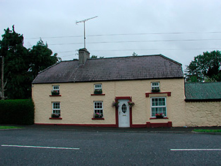 farm house1277 yd
Explorer Tom Farm house in Rathowen refuses to fall down because it’s too stubborn about its thatched past! It’s got outbuildings…
 Rathowen Garda Síochána StationGarda station/constabulary barracks · 1326 yd
Explorer Tom Rathowen Garda Station’s New Year's resolution is to stop pretending they know what 'modern technology' means, because…
 Saint Thomas's Church (Rathaspick)Church/chapel · 1430 yd
Explorer Tom Saint Thomas's Church in Rathowen is modest but thinks it’s the life of the party, with its Gothic details winking at…
Fairy fort / ringfort in Rath (moygoish By., Rathowen Ed)Fairy fort / ringfort · 1.6 miExplorer Tom Fairy fort / ringfort in Rath has had more names than a soap opera protagonist. It's sitting right by the county line…
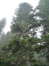 Silver Fir1.9 mi
Explorer Tom Silver Fir in County Westmeath is so tall it thinks Saint Patrick personally shook its hand, which seems unlikely given…
More archaeology and monuments in County Westmeath · All of County Westmeath

What do you know about this place?Tap to add a comment or ask a question