What is recorded here
Situated on a very low rise in fairly well-drained pasture land with wide views of the surrounding countryside, bogland 200m to NNE. Stream 30m to W which marks county boundary with Longford. Ringfort (LF020-020---) 40m to NNW, second ringfort (WM006-001----) 250m to SSE. No surface remains visible of levelled ringfort possible. The enclosure is marked on all editions of the OS 6 inch maps as an antiquity. Faint cropmark of levelled monument visible on Digital Globe aerial photographs taken November 2011.
Compiled by: Frank Coyne & Caimin O'Brien
Date of upload: 24 November 2016
The monument record does not grant public access. Check the route and ask the landowner before entering private land.
- What survives
- Recorded monument
Places near here
 BarrowBarrow, ring-barrow · 452 yd
 IndicatedFairy fort / earthen ringfort · 647 yd
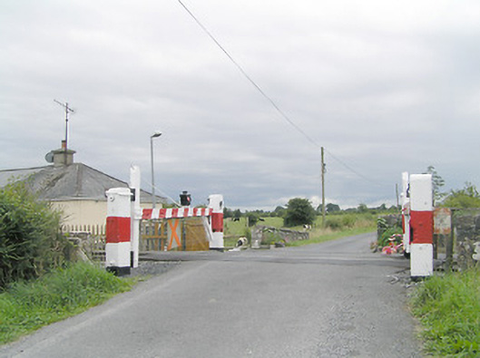 level crossinglevel crossing · 727 yd
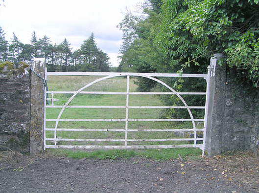 gates/railings/wallsgates/railings/walls · 793 yd
 MoatCastle, motte and bailey · 1.5 mi
 Silver FirSilver Fir · 1.7 mi
 CastleCastle, motte · 2.2 mi
 Sweet ChestnutSweet Chestnut · 2.9 mi
 Edgeworthstown BypassMemorial · 3.4 mi
 Granard MotteMotte-and-bailey castle remains · 6.6 mi
 1798 Monumentmonument · 6.7 mi
 Bully's Acregraveyard/cemetery, unknown · 8.4 mi