
What is recorded here
In wet, low-lying pasture. A report in 1976 (SMR file) recorded that this ring-barrow was defined by two low banks of earth and stone with an intervening fosse. It comprises a raised, roughly circular area (diam. at base 15.5m) defined by a low scarp (H 0.4m), which is enclosed by a shallow fosse (Wth 2.5-3m; D 0.2m). No trace of the outer bank is visible at ground level and the original entrance is not recognisable.
Compiled by: Patrick F. O'Donovan
Date of upload: 26 August 2011
A Neolithic ring-barrow, dating to approximately 3500–2500 BCE, characterized by its circular earthen and stone banks with an intervening ditch; such monuments are significant as early funerary and ceremonial structures in the Irish landscape.
The monument record does not grant public access. Check the route and ask the landowner before entering private land.
- What survives
- Recorded monument
Places near here
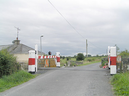 level crossinglevel crossing · 329 yd
 IndicatedFairy fort / earthen ringfort · 594 yd
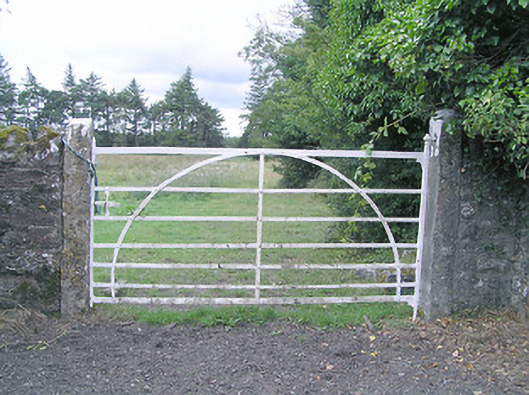 gates/railings/wallsgates/railings/walls · 690 yd
 Partially hachuredFairy fort / earthen ringfort · 733 yd
 CastleCastle, motte · 1.4 mi
 Silver FirSilver Fir · 1.5 mi
 MoatCastle, motte and bailey · 1.6 mi
 Sweet ChestnutSweet Chestnut · 2.6 mi
 Edgeworthstown BypassMemorial · 3.4 mi
 Granard MotteMotte-and-bailey castle remains · 6.9 mi
 1798 Monumentmonument · 6.9 mi
 Bully's Acregraveyard/cemetery, unknown · 8.6 mi
Other information
Photo: Credit not shown in the picture search · Rights wording not checked; contact us if this picture should be removed