
What is recorded here
Situated on level ground. Motte (WM006-015----) 80m to NW. According to the Feilire of Aengus and the Martyrology of Tallaght the feastday of Coeman Breic, of Ross ech [St. Caemhan Brec, Bishop of Ross-Each] also known as Chailli in Ollaim/Caille Fhallamhain [wood of the chief Professor / Fallon's wood] on the 14th of September (O'Hanlon 1875, 372-3; O'Donovan 1847, 182-3). The medieval church of Russagh is depicted on the 1654-9 Down Survey map of Moygoish barony (NLI MS 723-4). The terrier of the Down Survey parish map of Russagh states that there was 'one Church in Russagh' (NLI MS 723-4). The Royal Visitation of 1615 recorded that the vicarage of Ruish (Russagh) had an annual of £4, and that the church was in good condition and listed Leonard Heligh [Helah] as its vicar (Gray 1940, 30, 32).
The medieval church is depicted as a rectangular building on the 1837 ed. OS 6-inch map where it is shown standing in the centre of a D-shaped graveyard (WM006-062001-) defined by an earthen bank. On the 1911 ed. OS 6-inch map only a short stretch of the S wall of the church is shown upstanding. Today no surface remains of this church are now visible. The possible outline of the levelled church appears to be visible in the N quadrant of the graveyard on Digital Globe aerial photograph taken November 2011. In 1837 the Ordnance Survey Name Book for Russagh parish recorded that 'only a small portion of one of the side walls of the old parochial church remains, and the graveyard presents nothing of interest but its situation within an earthen rath’ (SMR File). Some cut stone from the medieval church has been reused to mark burials in the graveyard.
Compiled by: Frank Coyne & Caimin O'Brien
Date of upload: 2 February 2017
The church at Russagh was likely built in the early medieval period, dedicated to St. Caemhan Brec (Coeman Breic), a 7th-century bishop associated with Ross-Each. Its location near a motte suggests later medieval activity, though the church itself reflects an earlier Christian foundation with possible monastic connections.
The monument record does not grant public access. Check the route and ask the landowner before entering private land.
- What survives
- Recorded monument
Places near here
 Ecclesiastical enclosure in RussaghEcclesiastical enclosure · 18 yd
 CastleCastle, motte · 136 yd
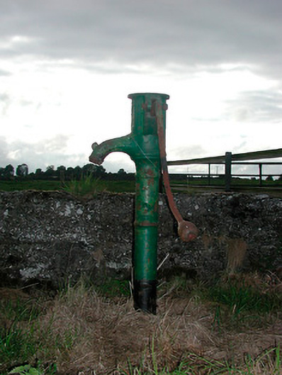 water pumpwater pump · 425 yd
 Partially indicatedFairy fort / earthen ringfort · 687 yd
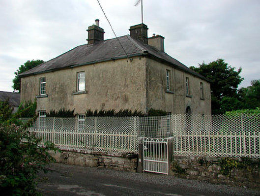 Barratogher Househouse · 845 yd
 MoatCastle, motte and bailey · 1.4 mi
 Silver FirSilver Fir · 1.9 mi
 Sweet ChestnutSweet Chestnut · 2.5 mi
 Edgeworthstown BypassMemorial · 4.7 mi
 Bridge Memorial (Kenna)Memorial · 5.2 mi
 Granard MotteMotte-and-bailey castle remains · 7.8 mi
 1798 Monumentmonument · 7.8 mi
Other information
Photo: Credit not shown in the picture search · Rights wording not checked; contact us if this picture should be removed