What is recorded here
Situated on SE face of a low ridge running NW-SE in gently undulating pasture-land. River Riffey located 85m to SW and S which marks townland boundary with Loughanstown (Moygoish barony). Ringfort (WM006-009----) 180m to the N. A sub-circular area (approx. diam. 48m N-S; 46m E-W) enclosed by a very poorly preserved earthen bank and a wide shallow fosse (Wth 8m; D 0.3m). This fosse is completely filled in from NW-N. A levelled field boundary running NE-SW intersects the site at N. The interior slopes slightly from NW-SE and has vague traces of cultivation ridges which run ENE-WSW. Outline of monument clearly visible on Digital Globe aerial photograph taken November 2011.
Compiled by: Frank Coyne & Caimin O'Brien
Date of upload: 20 January 2017
The monument record does not grant public access. Check the route and ask the landowner before entering private land.
- What survives
- Recorded monument
Places near here
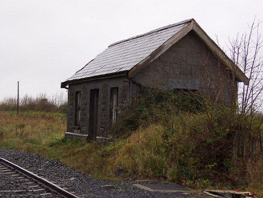 Street and Rathowen Railway Stationrailway station · 461 yd
 CastleCastle, motte · 582 yd
 Ecclesiastical enclosure in RussaghEcclesiastical enclosure · 676 yd
 Church (in Ruins)Church · 687 yd
 Partially hachuredFairy fort / earthen ringfort · 876 yd
 MoatCastle, motte and bailey · 1.1 mi
 Silver FirSilver Fir · 2.0 mi
 Sweet ChestnutSweet Chestnut · 2.8 mi
 Edgeworthstown BypassMemorial · 4.6 mi
 Bridge Memorial (Kenna)Memorial · 5.4 mi
 Granard MotteMotte-and-bailey castle remains · 7.4 mi
 1798 Monumentmonument · 7.4 mi
Other information
Photo: Credit not shown in the picture search · Rights wording not checked; contact us if this picture should be removed