What is recorded here
Annotated on the OS Fair Plan as ‘fort’, and depicted as a sub-rectangular field on the 1837 ed. OS 6-inch map, it has been partially levelled since then. This appears to have been a small field. No evidence of an antiquity at this location. Not depicted as an antiquity on any edition of the OS maps.
From the National Monuments Service (Archaeological Survey of Ireland) record WM006-028
The monument record does not grant public access. Check the route and ask the landowner before entering private land.
- What survives
- Recorded monument
Places near here
Photo credits
- National Inventory of Architectural Heritage
- Richard Webb, Geograph · CC BY-SA 2.0
- Mike Searle, Geograph · CC BY-SA 2.0
- Steve & Jemma Copley on Flickr, Wikimedia Commons · CC BY-SA 2.0
- Miguel Angel Masegosa Martínez, Wikimedia Commons · CC BY 2.0
- Peter Gavigan, Wikimedia Commons · CC BY-SA 3.0
- Gillaween, Wikimedia Commons · CC BY-SA 4.0
- 2ManyCats4Me, Wikimedia Commons · CC0
- Cavanphotography, Wikimedia Commons · CC BY-SA 4.0
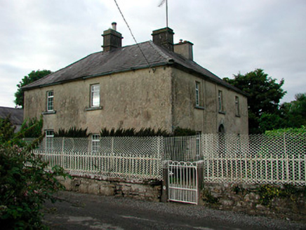 Barratogher HouseHouse · 1.2 mi
 Ballinalack BridgeBridge · 1.2 mi
 CastleCastle, motte · 1.7 mi
 Carrick CastleCastle · 2.3 mi
 Silver Fir3.3 mi
 Sweet Chestnut3.5 mi
 Tullynally CastleCastle · 6.4 mi
 Sheela-na-gig in AbbeylaraSheela-na-gig · 8.0 mi
 Granard MotteMotte-and-bailey castle remains · 8.8 mi
 1798 MonumentMonument · 8.9 mi
 Myles O'Reilly MonumentMemorial · 9.7 mi
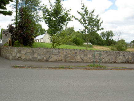 Bully's AcreGraveyard/cemetery, unknown · 12 mi
More archaeology and monuments in County Westmeath · All of County Westmeath
What do you know about this place?