What is recorded here
Culvin Castle is a vanished Westmeath stronghold last identified with John Nugent in 1641, hidden somewhere north of the River Riffey. It may have stood as one of three rusting castles in Street parish, a private tower or a military outpost. Its absence is not a failure of imagination but a reminder that some places resist being known.
The precise location of Culvin Castle has not been identified. This castle is depicted on 1654-9 Down Survey map of Street parish (NLI MS723-4) in an area N of the River Riffey which would place it somewhere between the river and the Mullingar-Sligo railway line. In 1641 this castle was in the possession of John Nugent who is described as an 'Irish Papist' (ibid.). The terrier of the Street parish map stated that in this parish there were '3 Runious Castles' (ibid.).
Compiled by: Frank Coyne & Caimin O'Brien
Date of upload: 26 January 2017
Culvin Castle was likely built in the 17th century, as evidenced by its depiction on the 1654–1659 Down Survey map. Its exact builder and significance remain unclear due to the lack of identified remains and historical records.
The monument record does not grant public access. Check the route and ask the landowner before entering private land.
- What survives
- Recorded monument
Places near here
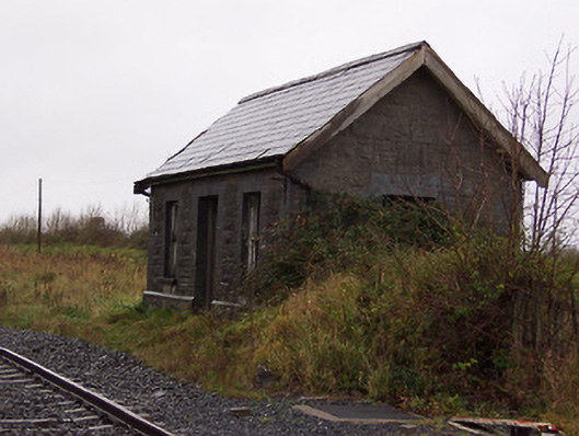 Street and Rathowen Railway Stationrailway station · 829 yd
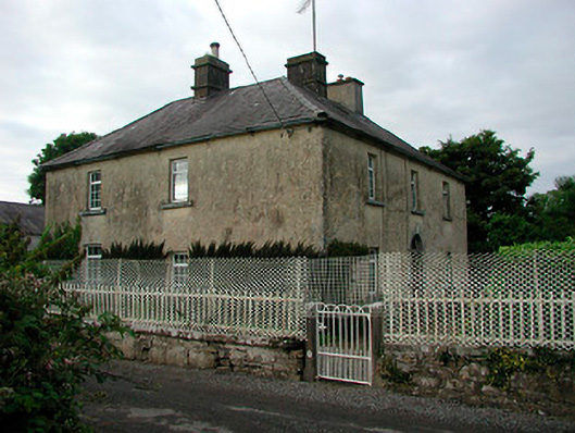 Barratogher Househouse · 1099 yd
 Partially indicatedFairy fort / earthen ringfort · 1206 yd
 Partially hachuredFairy fort / earthen ringfort · 1329 yd
 CastleCastle, motte · 1391 yd
 MoatCastle, motte and bailey · 1749 yd
 Silver FirSilver Fir · 2.6 mi
 Sweet ChestnutSweet Chestnut · 3.3 mi
 Bridge Memorial (Kenna)Memorial · 4.8 mi
 Edgeworthstown BypassMemorial · 5.3 mi
 Granard MotteMotte-and-bailey castle remains · 7.5 mi
 1798 Monumentmonument · 7.5 mi