
What is recorded here
In pasture, on S-facing slope. D-shaped enclosure (70m NNE-SSW; projecting c. 100m to E) defined by linear field boundary (NNE-SSW) to W and to N, curved earthen bank (int. H 0.5m; ext. H 1m) NE->SW, open elsewhere; external fosse (D 1m) E->SW. Break in bank to SE (Wth 3.2m). Inner face of bank survives as gentle…
Read the whole record
From the National Monuments Service (Archaeological Survey of Ireland) record CO031-018001
Places near here
Photo credits
- Maker not stated on source page, www.irelandhighlights.com
- National Inventory of Architectural Heritage
- Maker not stated on source page, ca.pinterest.com
- Maker not stated on source page, tr.pinterest.com
- Maker not stated on source page, www.flickr.com
- Maker not stated on source page, en.wikipedia.org
- The Speckled Bird, Wikimedia Commons · CC BY-SA 4.0
- Maker not stated on source page, global-geography.org
- John Tarrant / The Echo, www.echolive.ie
 Standing stone in Dromcummer MoreStanding stone · 1092 yd
Explorer Tom Standing stone in Dromcummer More is one of two stones on Mrs O'Callaghan’s land, tapering to a point at the top. It…
 kiln1229 yd
Explorer Tom Kiln in Dromcummer More is set into the hillside, probably hiding from the damp. It used to bake lime, now it bakes…
 Church in Kilcaskan SouthChurch · 1317 yd
Explorer Tom Church in Kilcaskan South is marked by a fence fragment and a spot spared from the plough. A cow probably tried to buy…
 Church in KillavalligChurch · 1660 yd
Explorer Tom Church in Killavallig has the secret talent of disappearing completely whenever you look directly at it from the road.…
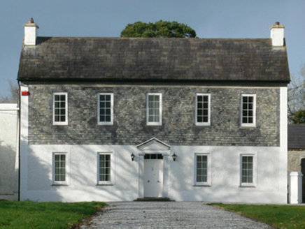 Gurteenbeha HouseHouse · 1.0 mi
Explorer Tom Gurteenbeha House in Gurteenbeha was designed by a mother-in-law who believed that slate hanging on the first floor was…
 Holy well in PulleenHoly well · 1.4 mi
Explorer Tom Holy well in Pulleen used to have people rubbing tree bark on their teeth for pain relief, which sounds absolutely…
 Gurteenard HouseCountry house · 1.4 mi
Explorer Tom Gurteenard House is acting like it invented the fanlight, which is probably why it has such an air of grandeur. Some…
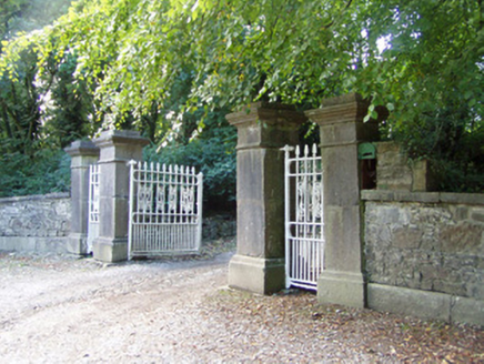 Castlepark HouseDemesne walls/gates/railings · 1.6 mi
Explorer Tom Castlepark House in Paal East bragged about surviving a storm that shook its limestone piers. The cast-iron post-box…
 Kanturk Castle GroundsPark · 1.6 mi
Explorer Tom Kanturk Castle Grounds got into a massive feud with the next village over whether a specific fence post was leaning to…
 Kanturk CastleHeritage attraction · 1.6 mi
Explorer Tom Kanturk Castle in County Cork has a bird that refuses to leave no matter how much you wave at it. The castle itself is…
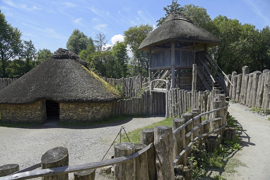 Fairy fort / earthen ringfort in BaunoulaghFairy fort / earthen ringfort · 1.8 mi
Explorer Tom Fairy fort / earthen ringfort in Baunoulagh is levelled and barely there, like a ghost that’s forgotten its own name. A…
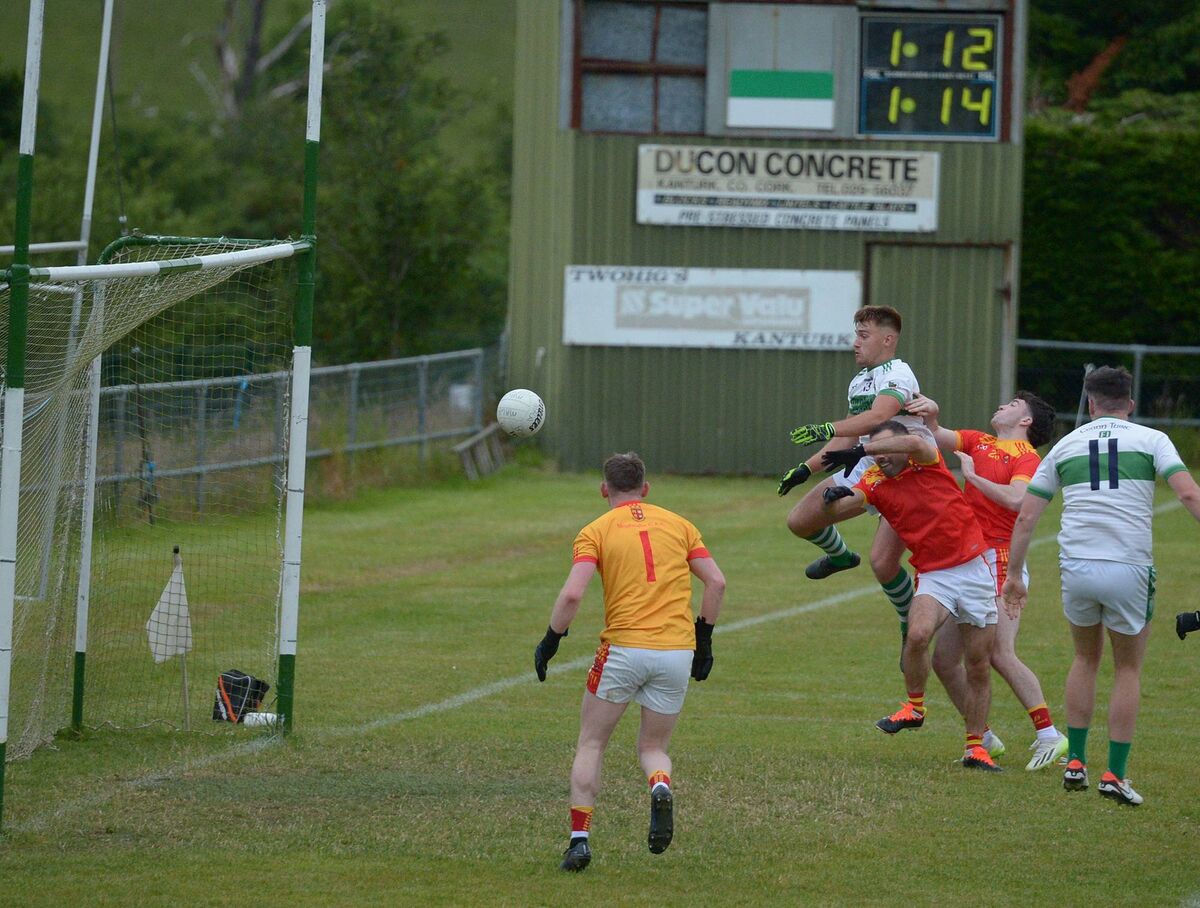 Kanturk GAA pitchGAA ground · 2.3 mi
More archaeology and monuments in County Cork · All of County Cork

What do you know about this place?Tap to add a comment or ask a question