What is recorded here
Dromcummer More holds two stones, one tapering to a point like a broken spear. Bowman measured the larger at nine feet eight inches around its base before it narrowed into a sharp edge. Mrs O'Callaghan's land swallowed the exact spot, leaving only a distance of three hundred yards from a forgotten fort. The stone still points upward, waiting for a hand to steady it or a sky to read.
One of two stones (9968) recorded by Bowman (1934, 213) in this townland; 'In Mrs O'Callaghan's. 2ft 3in by 9ft 8in girth at base. This tapers to a point at top. It is c. 300 yards NE of fort 1 [12443]'. Exact location not known.
The above description is derived from the published 'Archaeological Inventory of County Cork. Volume 4: North Cork' (Dublin: Stationery Office, 2000). In certain instances the entries have been revised and updated in the light of recent research.
Date of upload/revision: 14 January 2009
Probably dates to the Neolithic or Bronze Age, given the presence of a nearby fort, suggesting a ritual or territorial function. Standing stones in such contexts may have been used for ceremonial purposes or as markers within a wider landscape of prehistoric activity.
The monument record does not grant public access. Check the route and ask the landowner before entering private land.
- What survives
- Recorded monument
Places near here
 kilnkiln · 182 yd
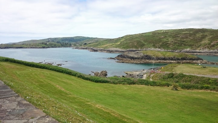 Fulacht fia in Dromcummer MoreFulacht fia · 845 yd
 St Fursey's WellSpring · 963 yd
 Church in Clonmeen NorthChurch · 1036 yd
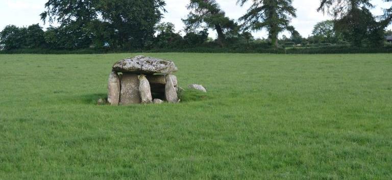 Burial ground in KillarushBurial ground · 1092 yd
 Clonmeen Court (Site of)House, fortified house · 1102 yd
 CastleCastle, unclassified · 1117 yd
 Kanturk CastleHeritage attraction · 1.8 mi
 Mount Hillary - Knightfield LoopWalking route · 2.0 mi
 Mount Hillary - Father Murphy LoopWalking route · 2.2 mi
 Burial ground in AssolasBurial ground · 2.3 mi
 European YewEuropean Yew · 2.4 mi