
What is recorded here
Clonmeen Castle vanished before human memory, its thick foundations buried beneath a later bawn wall. It belonged first to Philip O Mol in the fourteenth century, then became a principal seat for the O'Callaghans until the wars of 1641 broke it. The castle left no ruin, only a dotted rectangle on an 1842 map and a name preserved inside another place.
This unclassified castle was referred to in the 'Archaeological Inventory of County Cork - vol. 4 North Cork' (2000, 531) under the entry (no. 14354) for a bawn (CO031-054001-). The refererence to the unclassified castle in the entry reads: 'On 1842 OS 6-inch map dotted line outlines rectangular feature (c. 25m E-W; c. 10m N-S), named 'site of Clonmeen Castle', projecting into interior from W curtain wall. This had disappeared by 1897 (Grove White 1905-25, vol. 2. 235-6) and no visible trace of it survives. Foundations of earlier thicker walls under N and E bawn walls and under SE tower may be remains of a castle here referred to in 14th-century document as possession of Philip O Mol (MacCotter and Nicholls 1996, 35).
Clonmeen subsequently one of the principal castles of the O'Callaghans (Ó Murchadha 1985, 67). Said to have been ruined in wars of 1641 after which forfeited by O'Callaghans (Grove White ibid.).'
The above description is derived from the published 'Archaeological Inventory of County Cork. Volume 4: North Cork' (Dublin: Stationery Office, 2000). In certain instances the entries have been revised and updated in the light of recent research.
Date of upload/revision: 14 January 2009
This remains an important historical record, but the official description says the monument is no longer visible or has been destroyed. The monument record does not grant public access. Check the route and ask the landowner before entering private land.
- What survives
- No visible remains or recorded as destroyed
Places near here
 St Fursey's WellSpring · 520 yd
 Church in Clonmeen NorthChurch · 577 yd
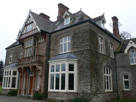 Clonmeen Househouse · 611 yd
 Clonmeen Court (Site of)House, fortified house · 680 yd
 IndicatedFairy fort / earthen ringfort · 1117 yd
 TobernaheenaHoly well · 1403 yd
 Mount Hillary - Knightfield LoopWalking route · 1.5 mi
 Mount Hillary - Father Murphy LoopWalking route · 1.6 mi
 Gurteenkreen Castle (Site of)Castle, unclassified · 2.2 mi
 Mount HillaryMountain / peak · 2.2 mi
 Kanturk CastleHeritage attraction · 2.4 mi
 Burial ground in AssolasBurial ground · 2.5 mi
Other information
Photo: Credit not shown in the picture search · Rights wording not checked; contact us if this picture should be removed