What is recorded here
On S side of road. Copse of trees (L 100m) bordered on N and S sides by fosses (D 1.2m N side; D 0.9m S side); shallow dip in centre. No grave markers noted. According to local information, burial place of soldiers who died at the Battle of Knocknanuss (14694).
From the National Monuments Service (Archaeological Survey of Ireland) record CO023-311
The monument record does not grant public access. Check the route and ask the landowner before entering private land.
- What survives
- Recorded monument
Places near here
Photo credits
- Sitomon, Wikimedia Commons · CC BY-SA 2.0
- National Inventory of Architectural Heritage
- Mike Searle, Geograph · CC BY-SA 2.0
- The Speckled Bird, Wikimedia Commons · CC BY-SA 4.0
- Jonathan Thacker, Geograph · CC BY-SA 2.0
- Mike Searle, Wikimedia Commons · CC BY-SA 2.0
- Maker shown on the Wikimedia Commons file page · CC BY-SA 3.0
 European Yew431 ydEuropean Yew443 yd
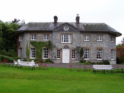 Assolas HouseCountry house · 465 ydListeigeFairy fort / earthen ringfort · 510 yd
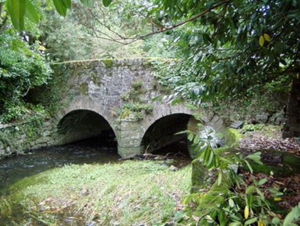 Assolas BridgeBridge · 611 yd
 Castle Magner (in Ruins)Bawn · 1.3 mi
 Castle Magner (in Ruins)Castle, tower house · 1.3 mi
 Kanturk CastleHeritage attraction · 2.6 mi
 Mount Hillary - Father Murphy LoopWalking route · 4.0 mi
 Mount HillaryMountain / peak · 4.4 mi
 Dromaneen CastleHeritage attraction · 5.8 mi
 Battle of KnocknaclashyBattle · 6.5 mi
More wrecks and historic events in County Cork · All of County Cork
What do you know about this place?