
What is recorded here
Castle Magner still stands as a ruined bawn in County Cork, its western edge surrendered to an ordinary farmyard. The boundary between medieval defence and domesticated soil has blurred until neither can be separated. What was once a fortified threshold may now be a feeding trough, a drying green, or a place where children ran before the walls collapsed. The bawn does not demand reverence; it invites curiosity about how much human life has passed through without noticing the shape of the ground beneath their feet.
This bawn is referred to in the 'Archaeological Inventory of County Cork - vol. 4 North Cork' (2000, 529) under the entry (no. 14350) for a tower house (CO024-109001-). The reference to the bawn in the entry reads as follows: Bawn and area immediately to W occupied by farmyard.
The above description is derived from the published 'Archaeological Inventory of County Cork. Volume 4: North Cork' (Dublin: Stationery Office, 2000). In certain instances the entries have been revised and updated in the light of recent research.
Date of upload/revision: 14 January 2009
Built in the 16th century, Castle Magner was likely held by the McCarthy family, a prominent Gaelic clan in Munster. It is remembered as an example of a defended tower house with a bawn, reflecting the defensive architecture of the late medieval period in southern Ireland.
The monument record does not grant public access. Check the route and ask the landowner before entering private land.
- What survives
- Recorded monument
Places near here
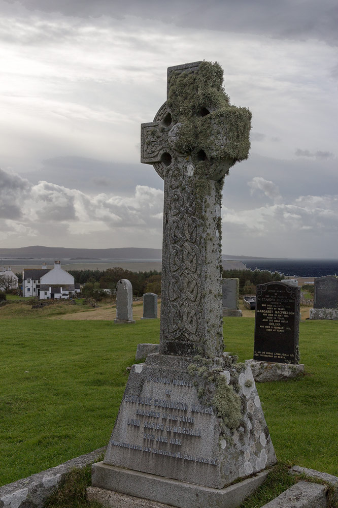 Grave YdGraveyard · 201 yd
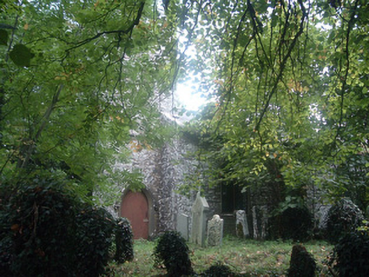 Saint Bridget's Church (Castlemagner)church/chapel · 209 yd
 IndicatedHouse, vernacular house · 243 yd
 Enclosure in CastlemagnerEnclosure · 799 yd
 Graveyard in Ballygiblin (duhallow By.)Graveyard · 1689 yd
 European YewEuropean Yew · 1.1 mi
 Burial ground in AssolasBurial ground · 1.3 mi
 Lohort CastleCastle, tower house · 1.4 mi
 Ballyheen Castle (Site of)Castle, unclassified · 1.8 mi
 St Fursey's WellSpring · 3.1 mi
 Mount Hillary - Knightfield LoopWalking route · 3.6 mi
 Kanturk CastleHeritage attraction · 3.7 mi
Other information
Photo: Mike Searle · CC BY-SA 2.0