What is recorded here
Fairy forts in Baunoulagh were circular earthen defences built by people, not literal houses for fairies. The name came later because the rounds looked like excluded places where the ordinary world stopped being certain. They were farms, shelters or boundary markers in landscapes that had no walls to show off. The chamber music of a fairy fort is the shape of a room that refused to be forgotten.
In pasture, on S-facing slope. Depicted as hachured circular enclosure (diam. c. 45m) on 1842 OS 6-inch map. Levelled; no visible surface trace of site. Faint trace of circular enclosure visible as cropmark in aerial photograph (GSIAP, R721). Recorded by Bowman (1934, 46) as levelled fort on Mr Bresnahan's land, now 'scarcely discernible'. Second ringfort (CO023-134---) in same field c. 30m to N.
The above description is derived from the published 'Archaeological Inventory of County Cork. Volume 4: North Cork' (Dublin: Stationery Office, 2000). In certain instances the entries have been revised and updated in the light of recent research.
Date of upload/revision: 14 January 2009
The monument record does not grant public access. Check the route and ask the landowner before entering private land.
- What survives
- Recorded monument
Places near here
 Spring GroveCountry house · 688 yd
 IndicatedFairy fort / earthen ringfort · 784 yd
 Enclosure in Ballintober (duhallow By.)Enclosure · 1091 yd
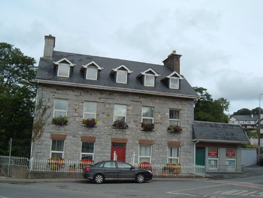 Greenane Househouse · 1276 yd
 Hanna SheehyMemorial · 1681 yd
 Kanturk CastleHeritage attraction · 1.1 mi
 Ballyheen Castle (Site of)Castle, unclassified · 1.7 mi
 Burial ground in AssolasBurial ground · 1.8 mi
 European YewEuropean Yew · 2.0 mi
 CastleCastle, unclassified · 2.5 mi
 St Fursey's WellSpring · 2.8 mi
 Mount Hillary - Knightfield LoopWalking route · 4.2 mi