
What is recorded here
Indicated is a Danish fort turned graveyard for strangers, its earthen bank rising half a metre above sloping soil in County Cork. Trees now hide the rim while buried bodies fill the circle, transforming a warrior stronghold into a quiet place for forgotten deaths. The field book of 1840 still calls it Kylerue Graveyard, preserving the moment martial pride became mortal mercy.
In S quadrant of graveyard, on SW-facing slope. Depicted as roughly circular enclosure (diam. c. 30m) named Kilroe Grave Yard and Kilroe Burial Gd. respectively on 1842 and 1905 OS 6-inch maps; burial ground extended to NW and NE on 1937 OS 6-inch map. Subcircular raised area (internal diam. 32m NW-SE) enclosed by earthen bank (int. H 0.73m), topped by stone wall of graveyard E->NW. Bank planted with trees; modified on NE side where it forms a roughly straight line. Burials in interior, which slopes down gently to SW. According to Grove White (1913, vol. 3, 227), 'the Field Book of 1840 records: - Kylerue Graveyard - A Danish fort lately made a graveyard for strangers'.
The above description is derived from the published 'Archaeological Inventory of County Cork. Volume 4: North Cork' (Dublin: Stationery Office, 2000). In certain instances the entries have been revised and updated in the light of recent research.
Date of upload/revision: 14 January 2009
The monument record does not grant public access. Check the route and ask the landowner before entering private land.
- What survives
- Recorded monument
Places near here
 Spring GroveCountry house · 595 yd
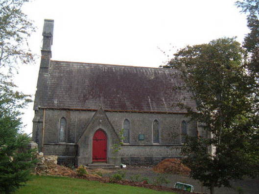 Saint Peter's Church (Clonfert)church/chapel · 981 yd
 Burial ground in Curragh (duhallow By., Clonfert Par.)Burial ground · 1029 yd
 Enclosure in Curragh (duhallow By., Clonfert Par.)Enclosure · 1197 yd
 Hanna SheehyMemorial · 1288 yd
 Kanturk CastleHeritage attraction · 1.3 mi
 Ballyheen Castle (Site of)Castle, unclassified · 1.9 mi
 Burial ground in AssolasBurial ground · 2.1 mi
 European YewEuropean Yew · 2.4 mi
 CastleCastle, unclassified · 2.8 mi
 St Fursey's WellSpring · 3.2 mi
 Stanner's Glen, Priory WoodWood · 4.0 mi
Other information
Photo: Credit not shown in the picture search · Rights wording not checked; contact us if this picture should be removed